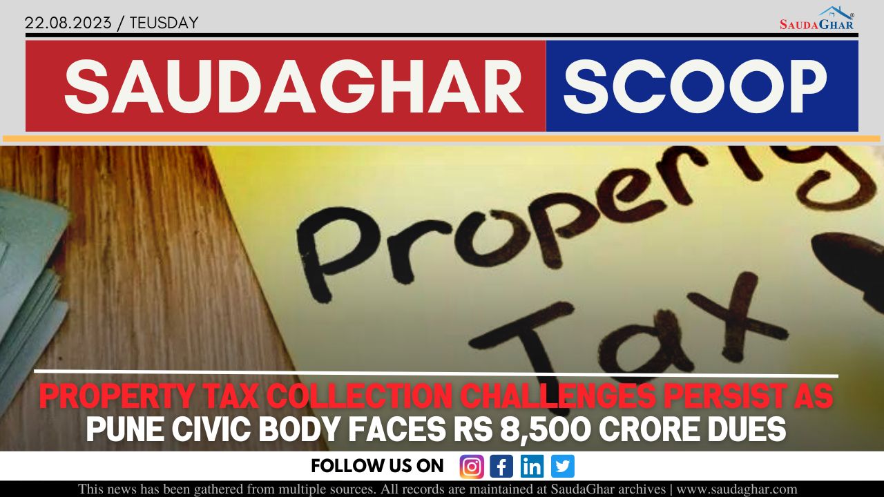
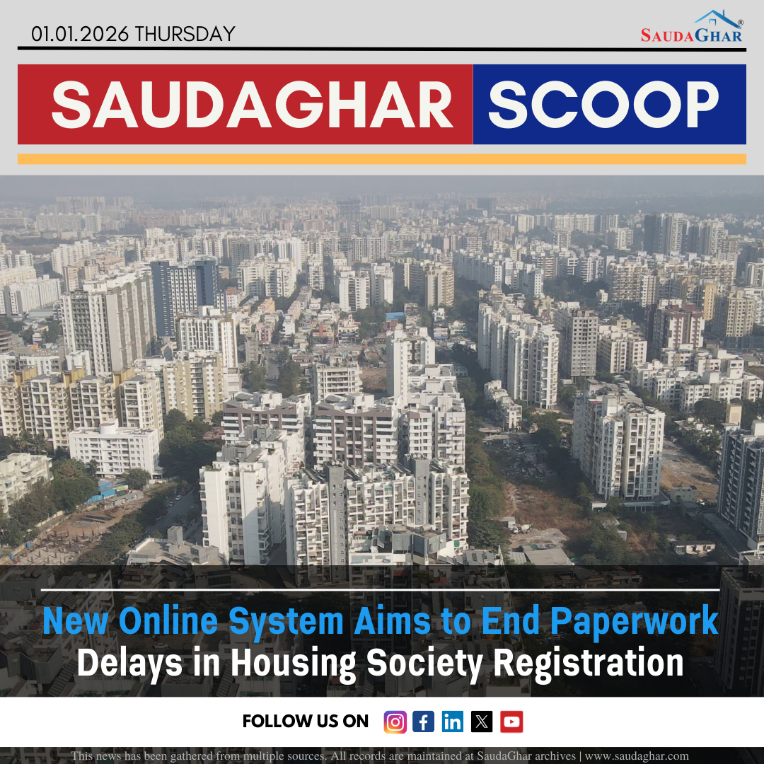
Kharadi Property Records to Be Digitised, Property Cards Expected by April
The state settlement commissioner’s office has initiated the digitisation of 13,300 property records across 785 hectares in Kharadi, with property cards expected to be uploaded on the Mahabhumi portal by late April or early May. A two-day verification process, scheduled for February 6 and 7, will involve 60 officials from multiple districts conducting door-to-door surveys. These property cards will include ownership details and housing society information, ensuring accurate record-keeping. Advanced technologies such as drones, ETS machines, rovers, and specialised city survey software are being used to finalise maps and ownership data. The initiative is part of the Central government's 2019 urban land record modernisation scheme, aimed at streamlining property management.
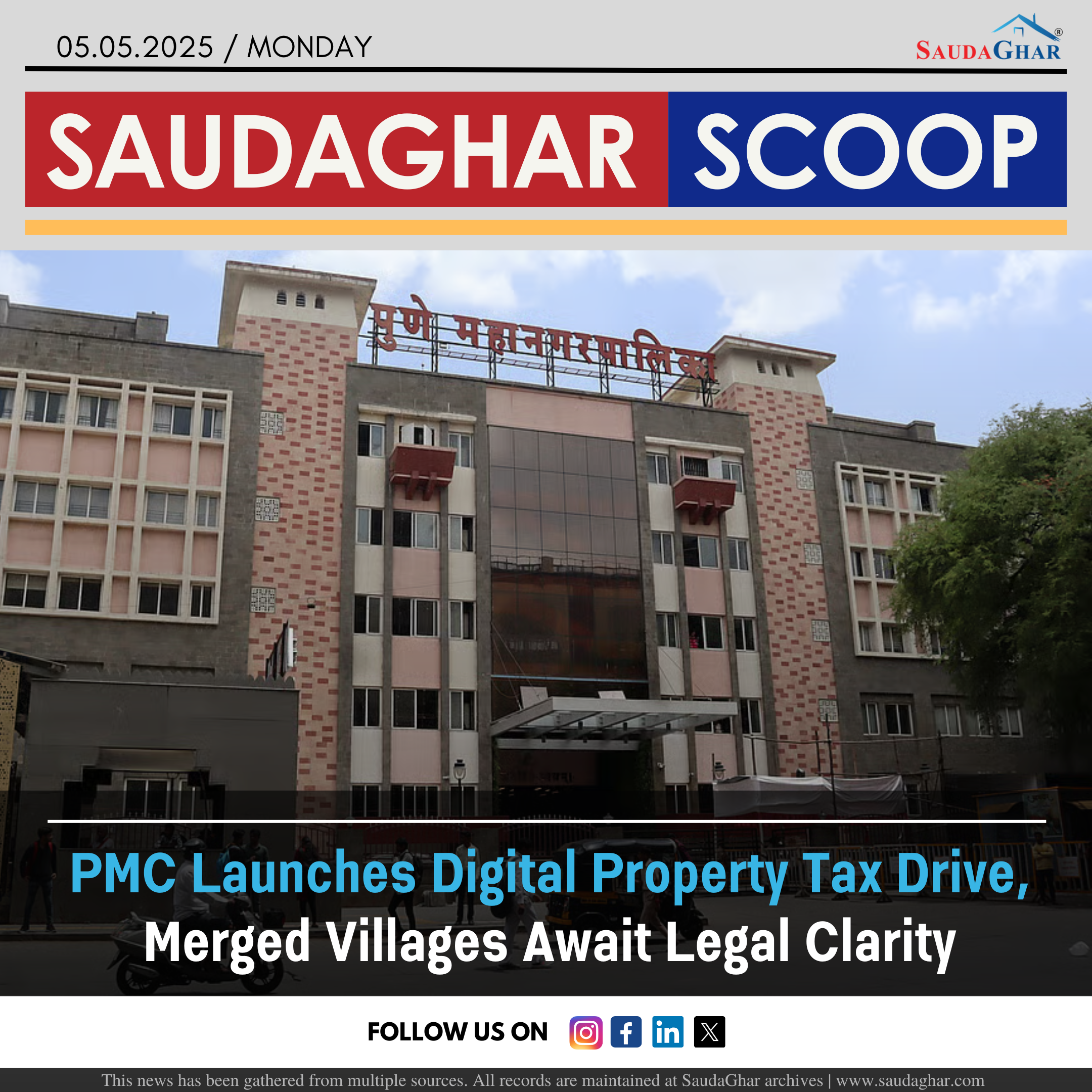
Following Kharadi, similar surveys will be carried out in the 23 newly merged villages under Pune Municipal Corporation (PMC). The digitisation process will help transition from traditional 7/12 land records, reducing fraud and enhancing transparency. Additionally, 3D GIS mapping will assist in urban planning, disaster management, taxation, and infrastructure development. A successful pilot project in Kharadi, developed with the National Informatics Centre, has already demonstrated its effectiveness. The completed property maps, approved by PMC in November, mark a major step towards modernising urban land records in Pune, following similar efforts in Mira Bhayandar and Thane.
Similar News


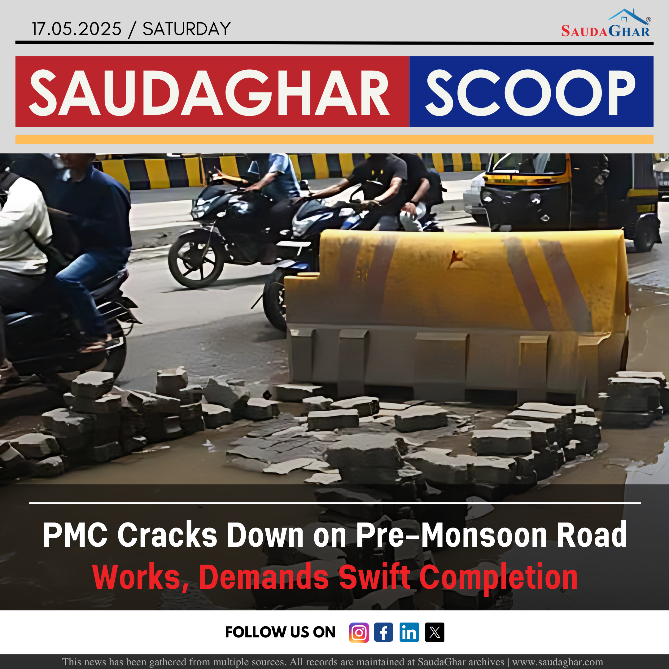
Monsoon Deluge Exposes PMC Road Repair Failures
28 Sep 2023


Amnesty Scheme to Reduce Stamp Duty Deficit
02 Dec 2023


Historic Bhide Wada Set for Redevelopment by PMC
06 Dec 2023


PMC Approved Bus Bay on Nagar Road
12 Dec 2023


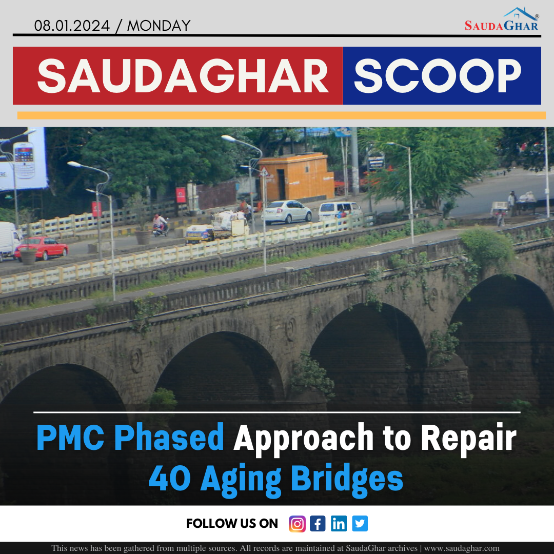
PMC Phased Approach to Repair 40 Aging Bridges
08 Jan 2024


Long Weekend से Pune-Satara Highway पर लगा लंबा!
27 Jan 2024


आखिर कब Open होगा Pune Airport का New Terminal?
06 Feb 2024

Pune Areas to Experience Water Shortage Tomorrow
07 Feb 2024


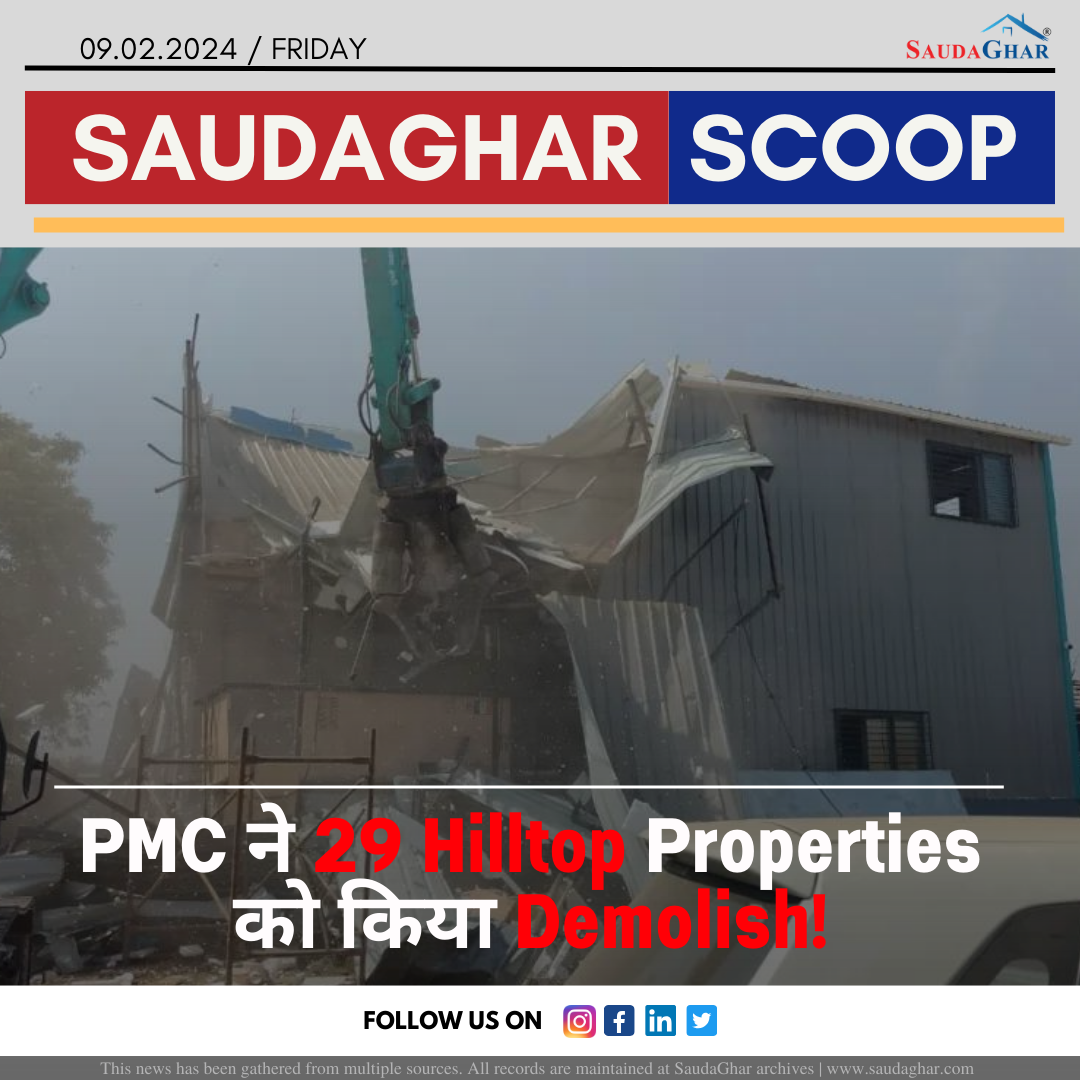
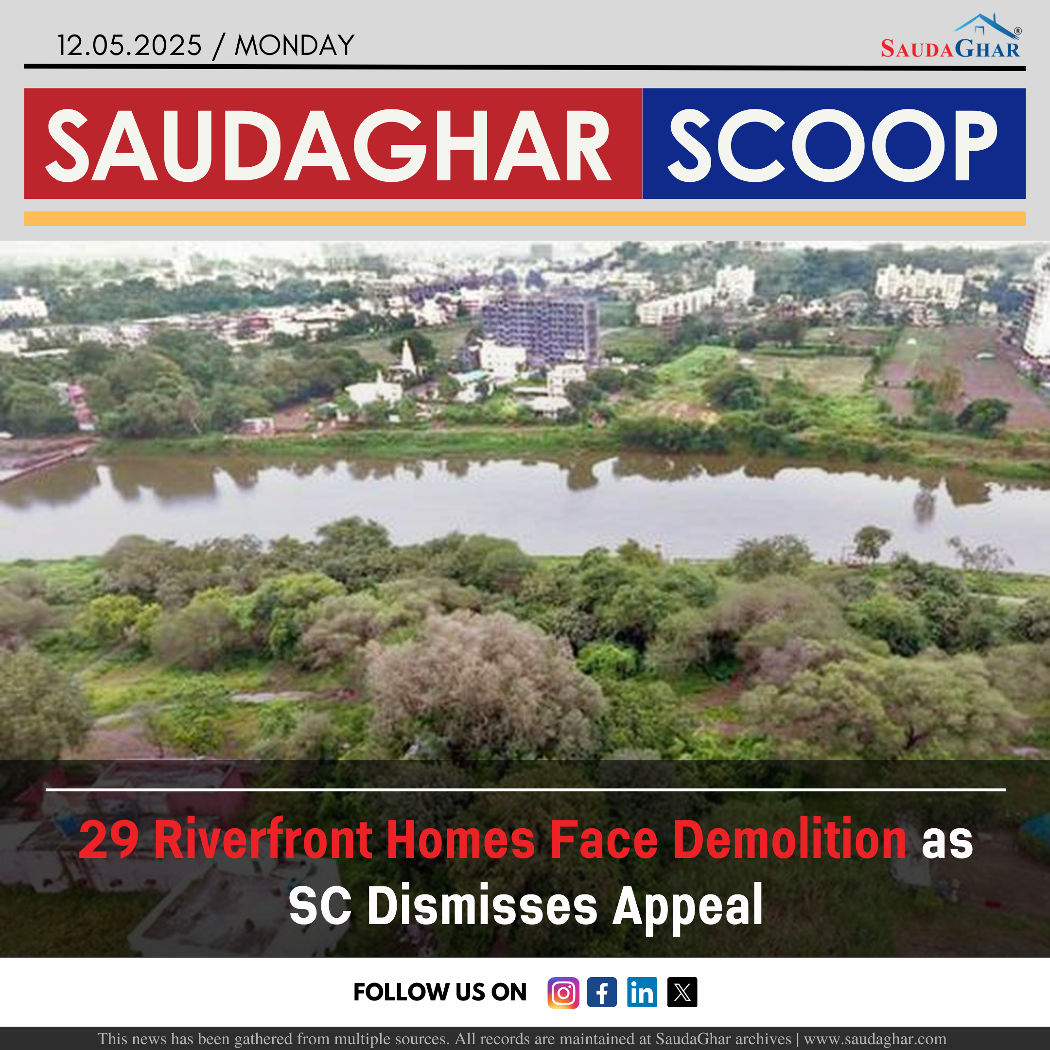
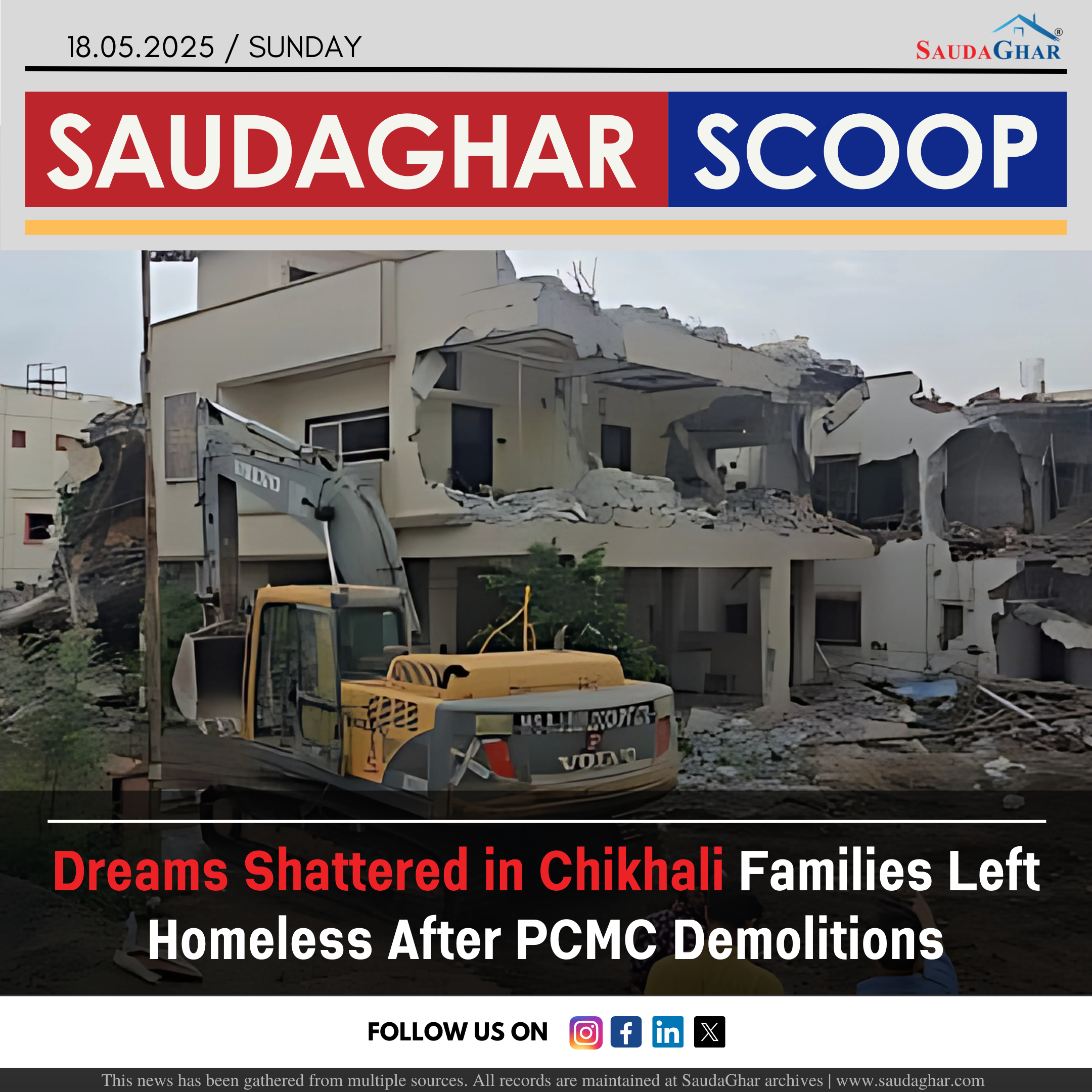
PMC demolishes 29 Hilltop Properties
09 Feb 2024


PMC under scrutiny for repeated budget inflation
03 Apr 2024


Pune Battle Against Rising Garbage-Related Fires
08 Apr 2024


IMD Warns Dry Conditions Challenge 125 Districts
19 Apr 2024


Residents Sweat Through Frequent Power Outages
28 Apr 2024


BSI to Open New Botanical Garden in Mundhwa
27 Aug 2024


KCB 326-Acre Merger with PMC Awaits Approval
25 Dec 2024


PMRDA Unveils ₹67 Crore Plan to Boost Tourism
15 Feb 2025


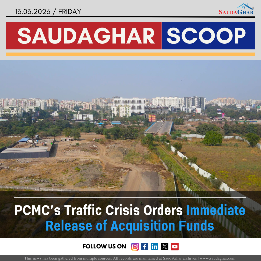
Land Acquisition for PMRDA Ring Road Speeds Up
20 Jul 2025


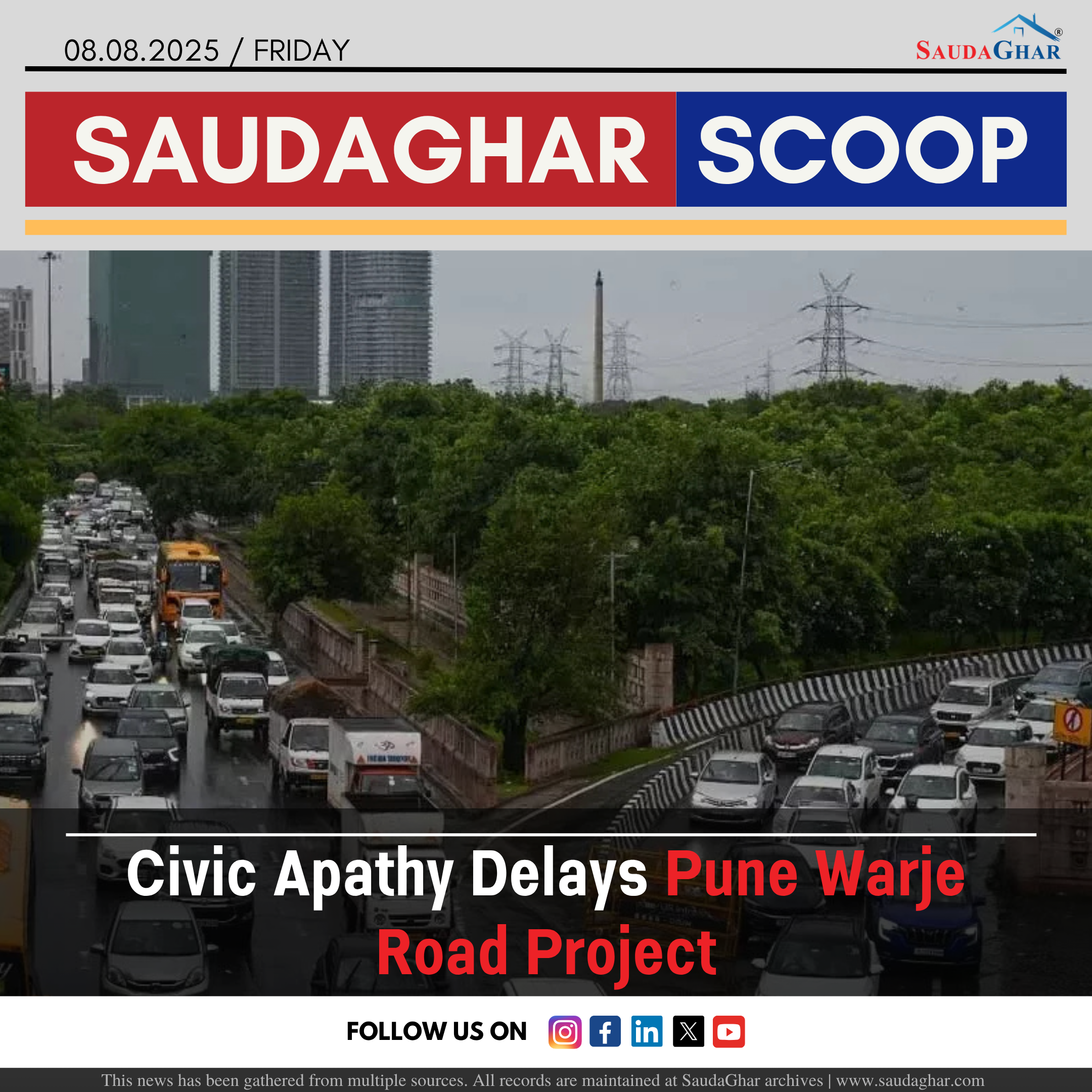
Civic Apathy Delays Pune Warje Road Project
08 Aug 2025


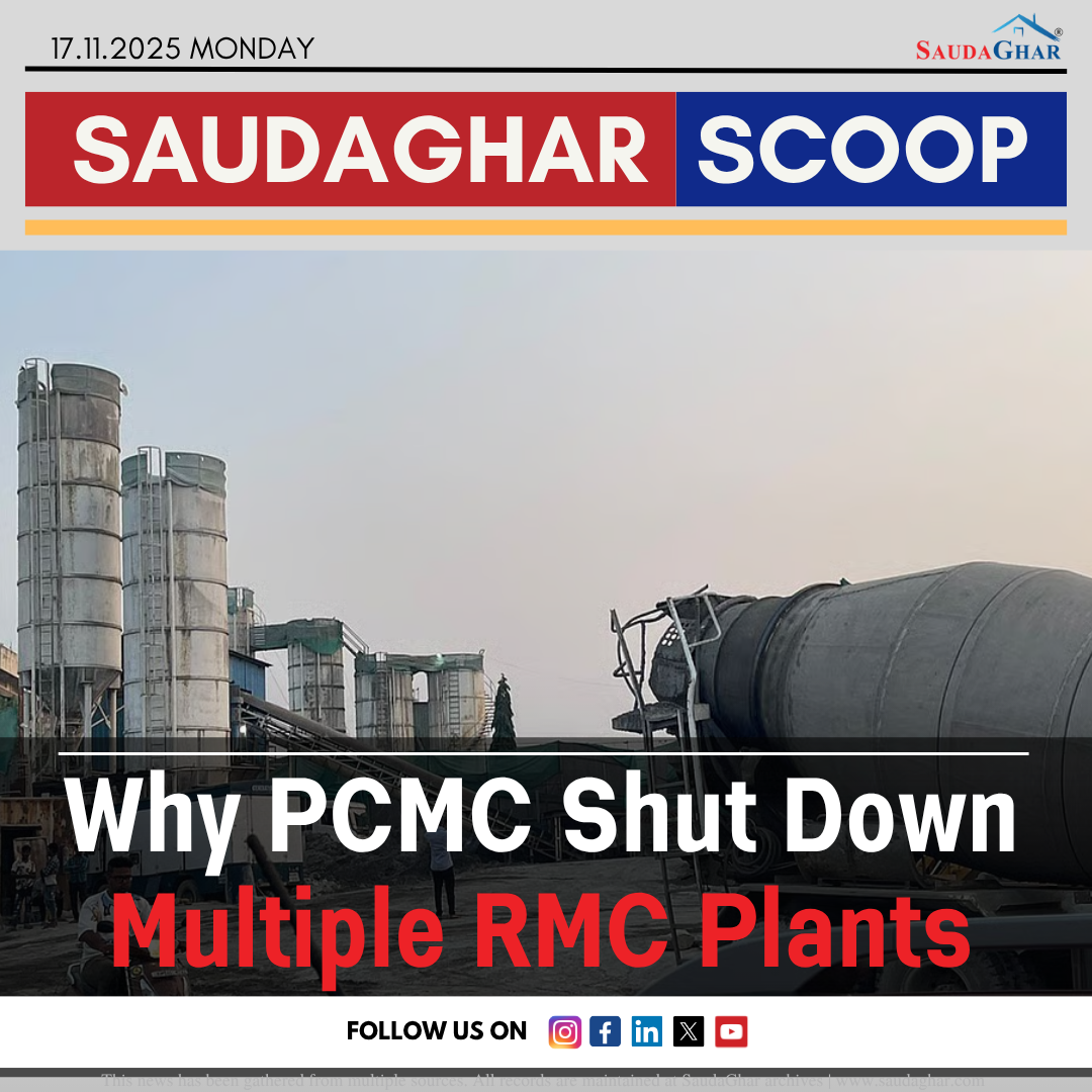
Why PCMC Shut Down Multiple RMC Plants.
17 Nov 2025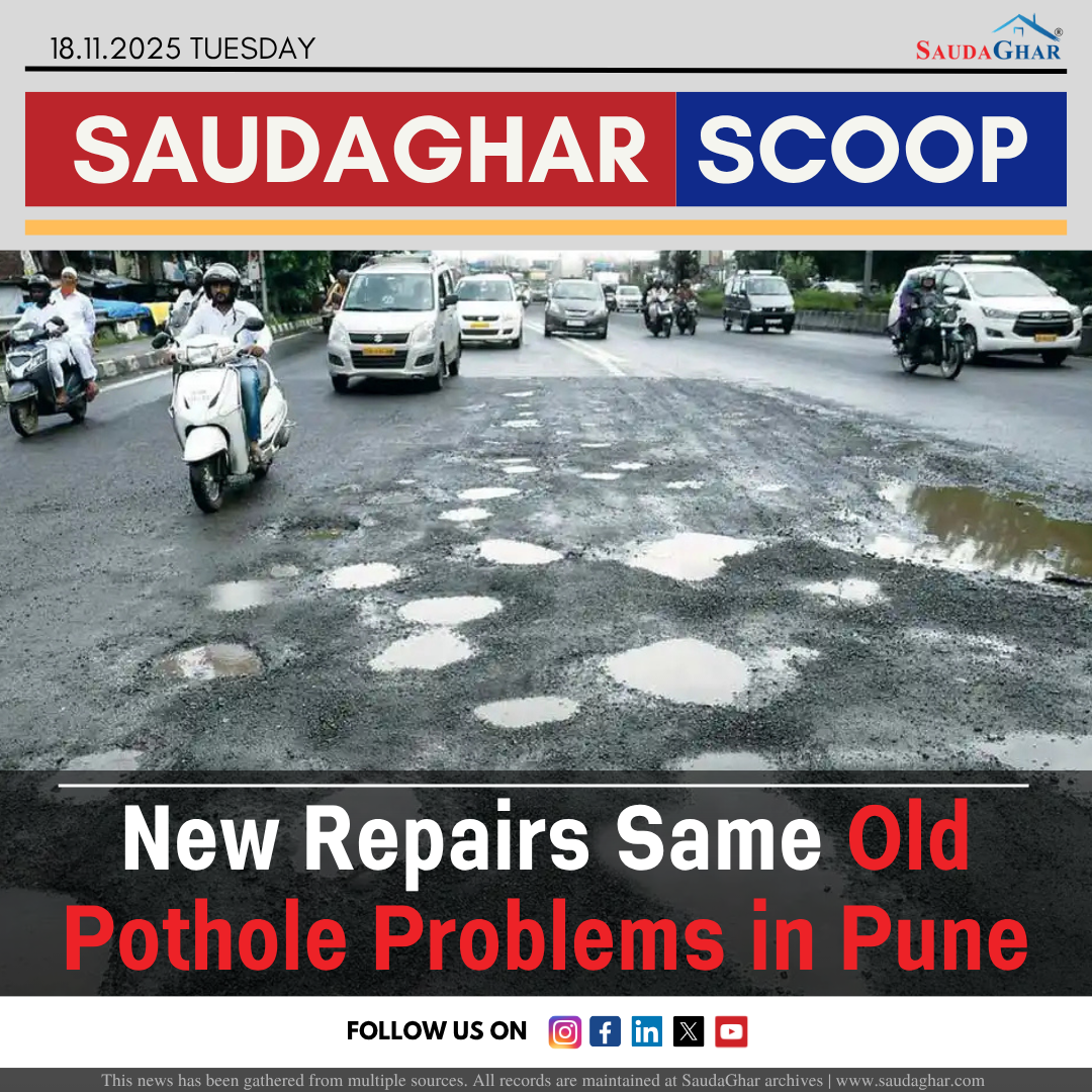
New Repairs Same Old Pothole Problems in Pune.
18 Nov 2025


Yerawada Katraj Tunnel A New Way to Cross Pune
07 Jan 2026

What 2025 Tells Us About Pune Real Estate Demand
09 Jan 2026