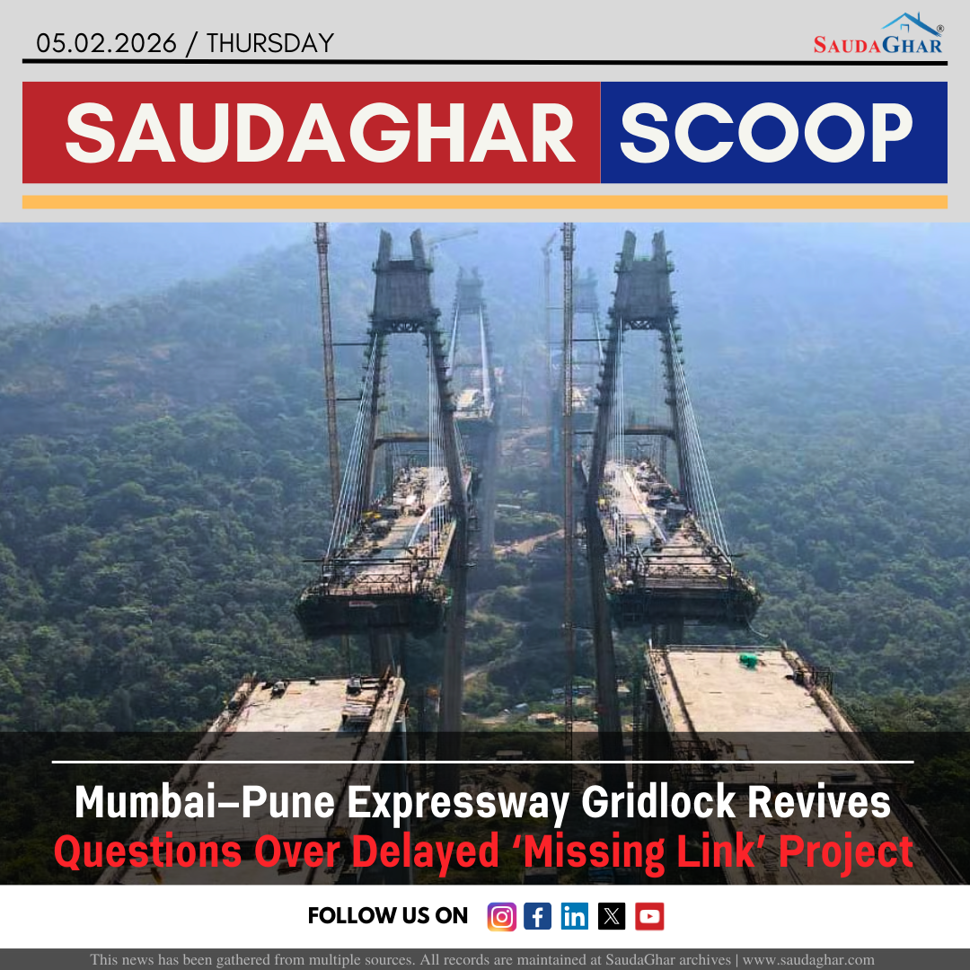
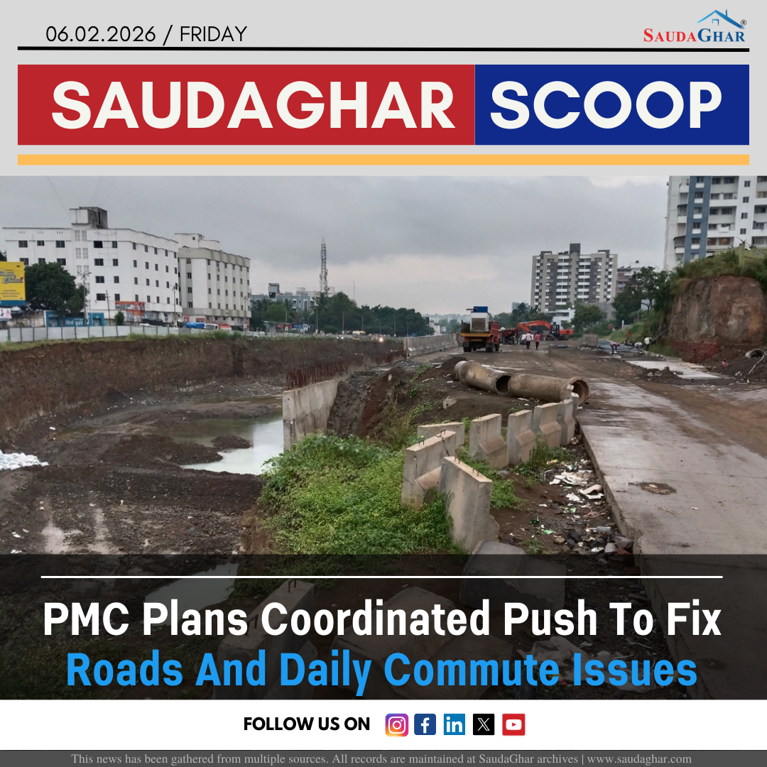
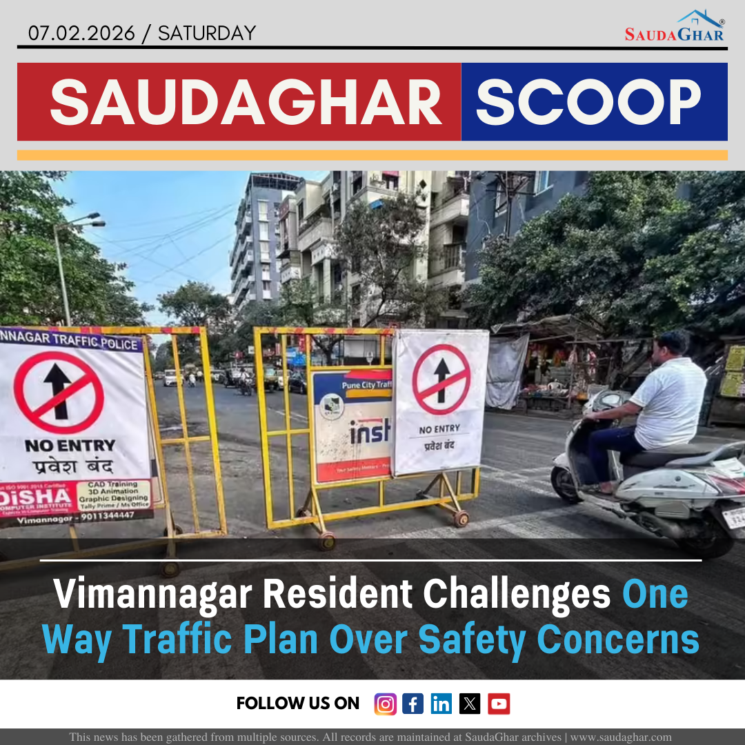
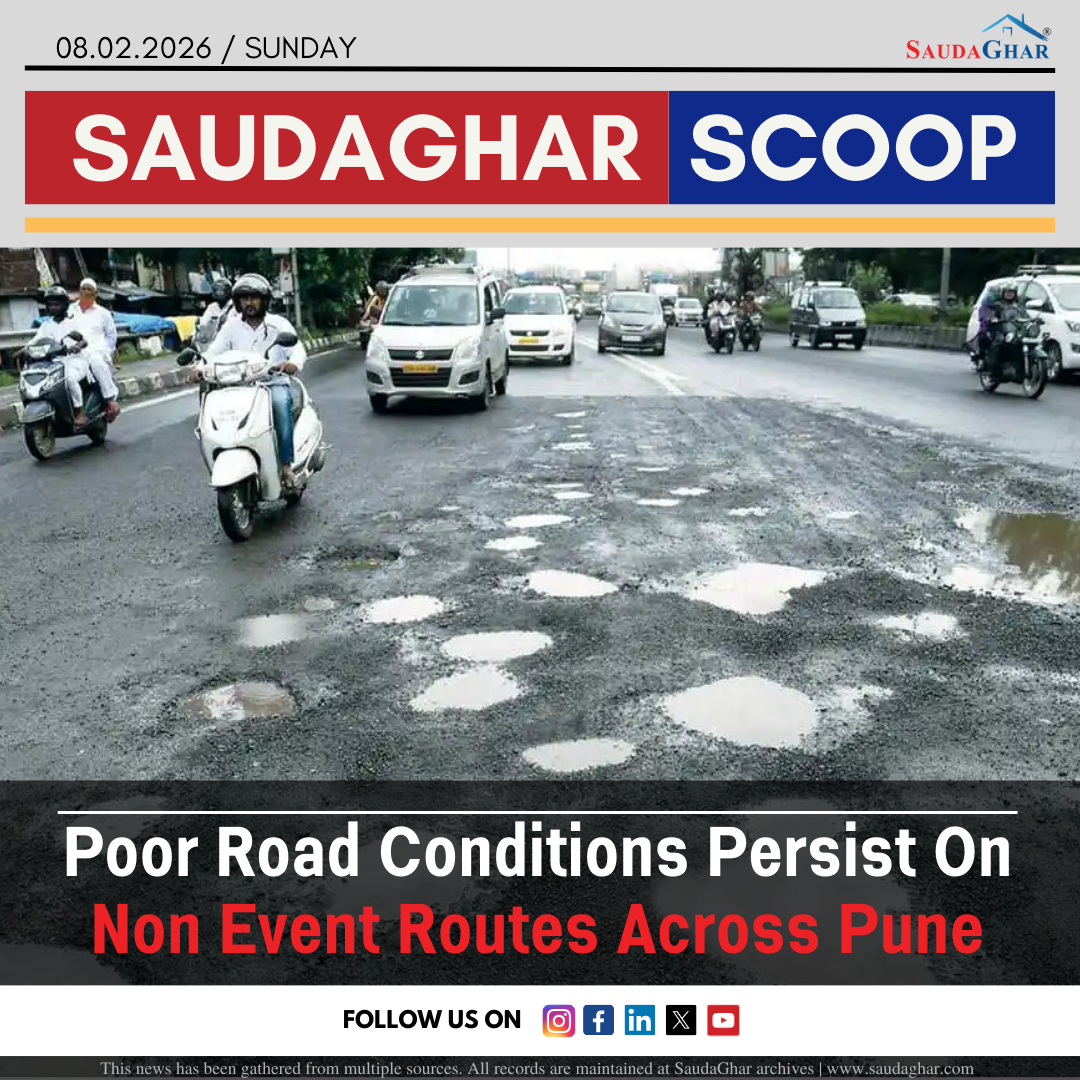
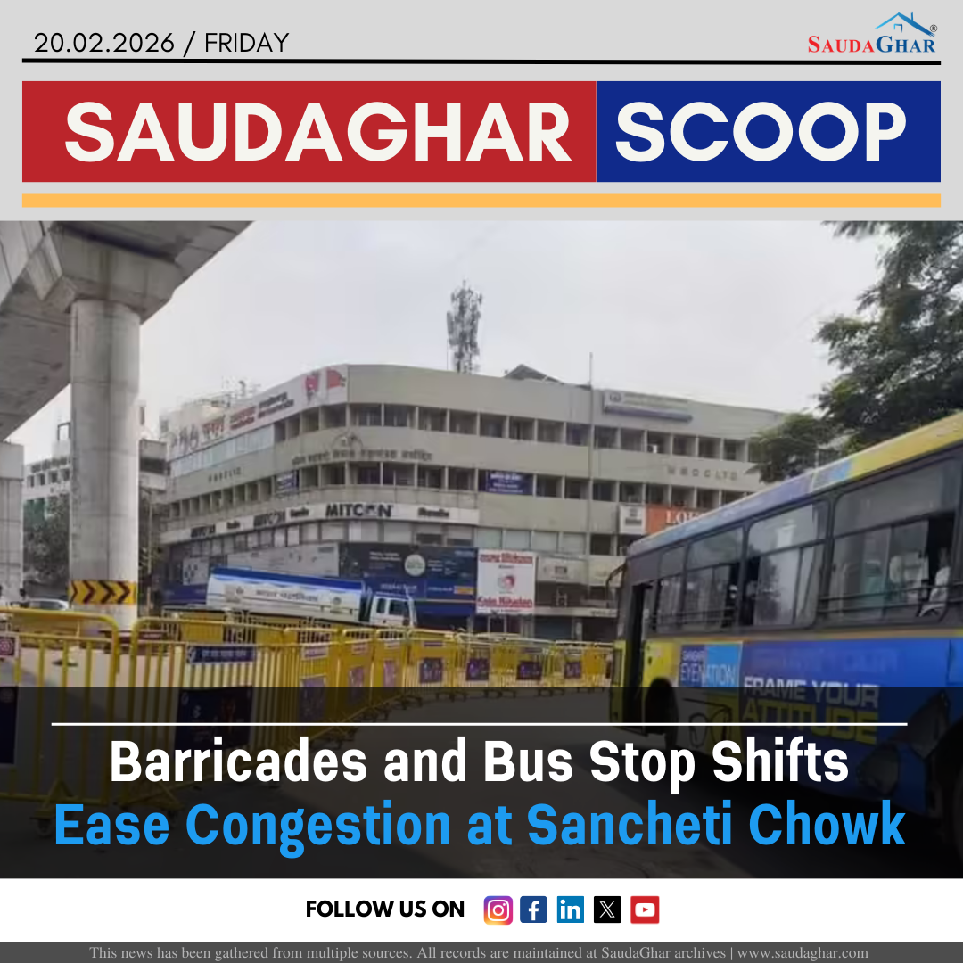
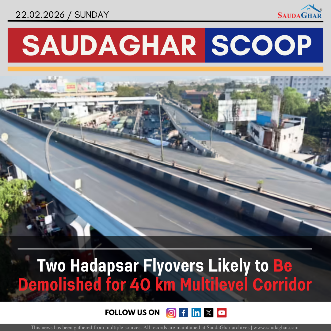
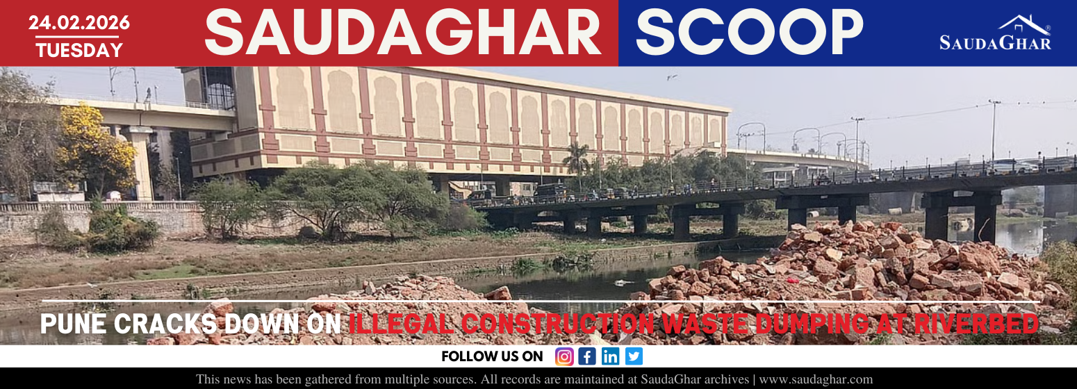
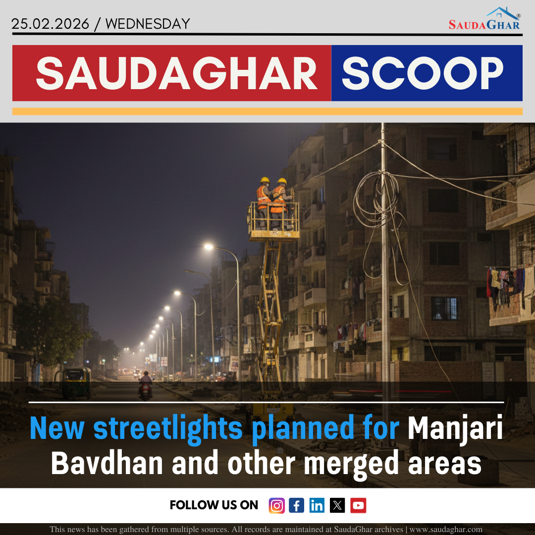
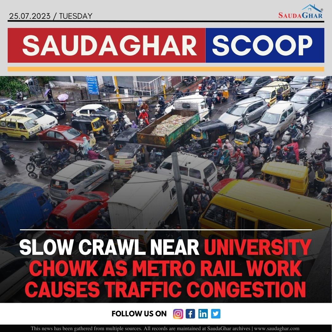
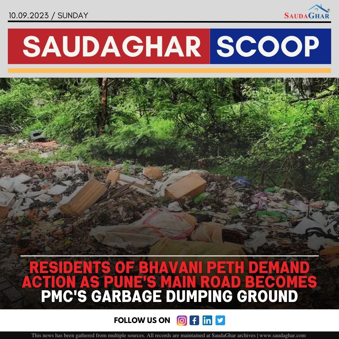
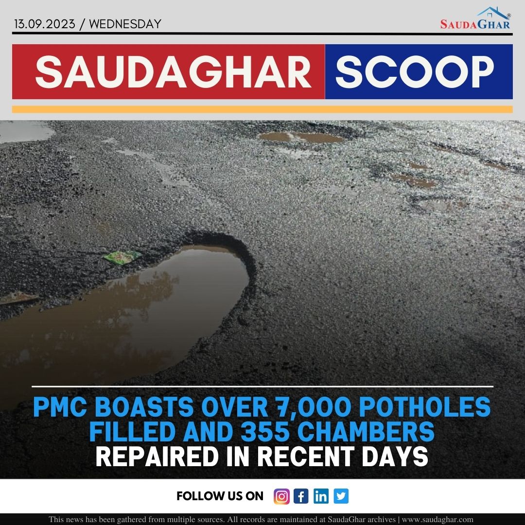
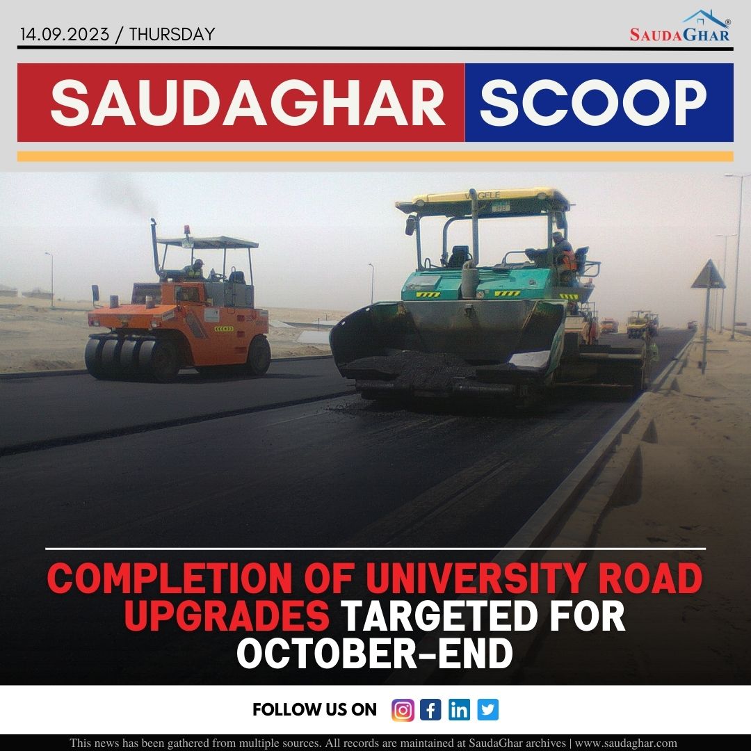
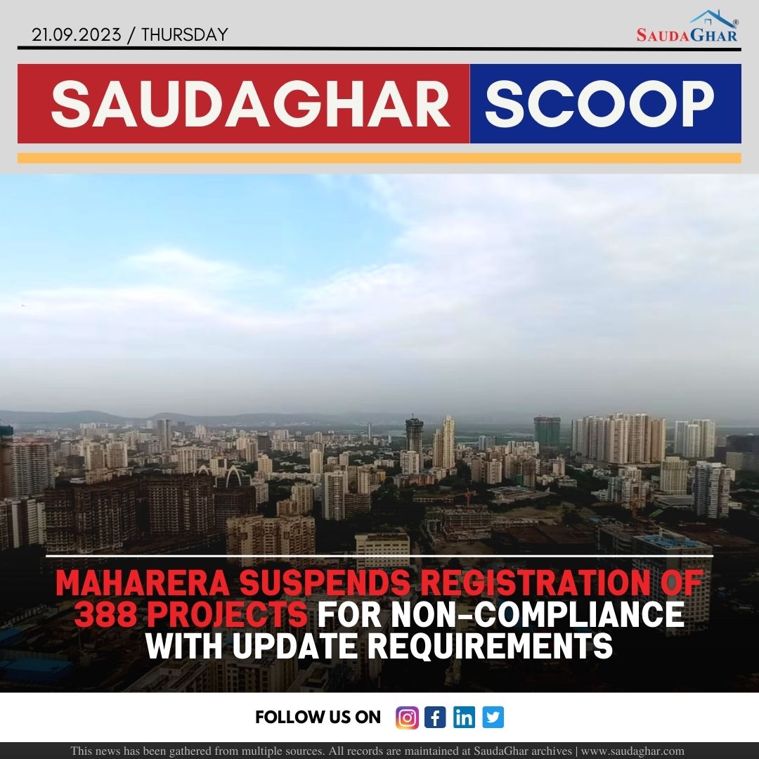
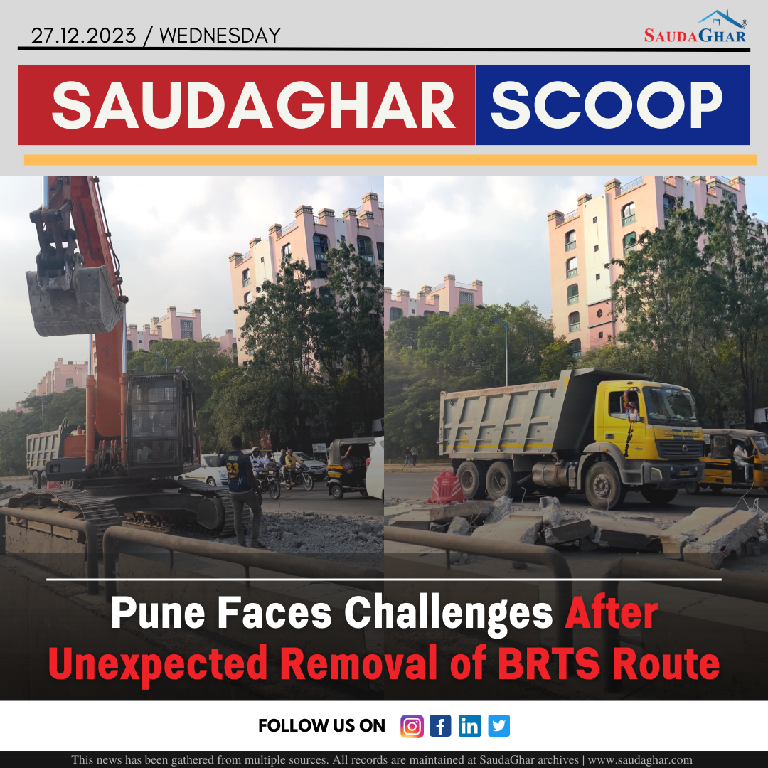
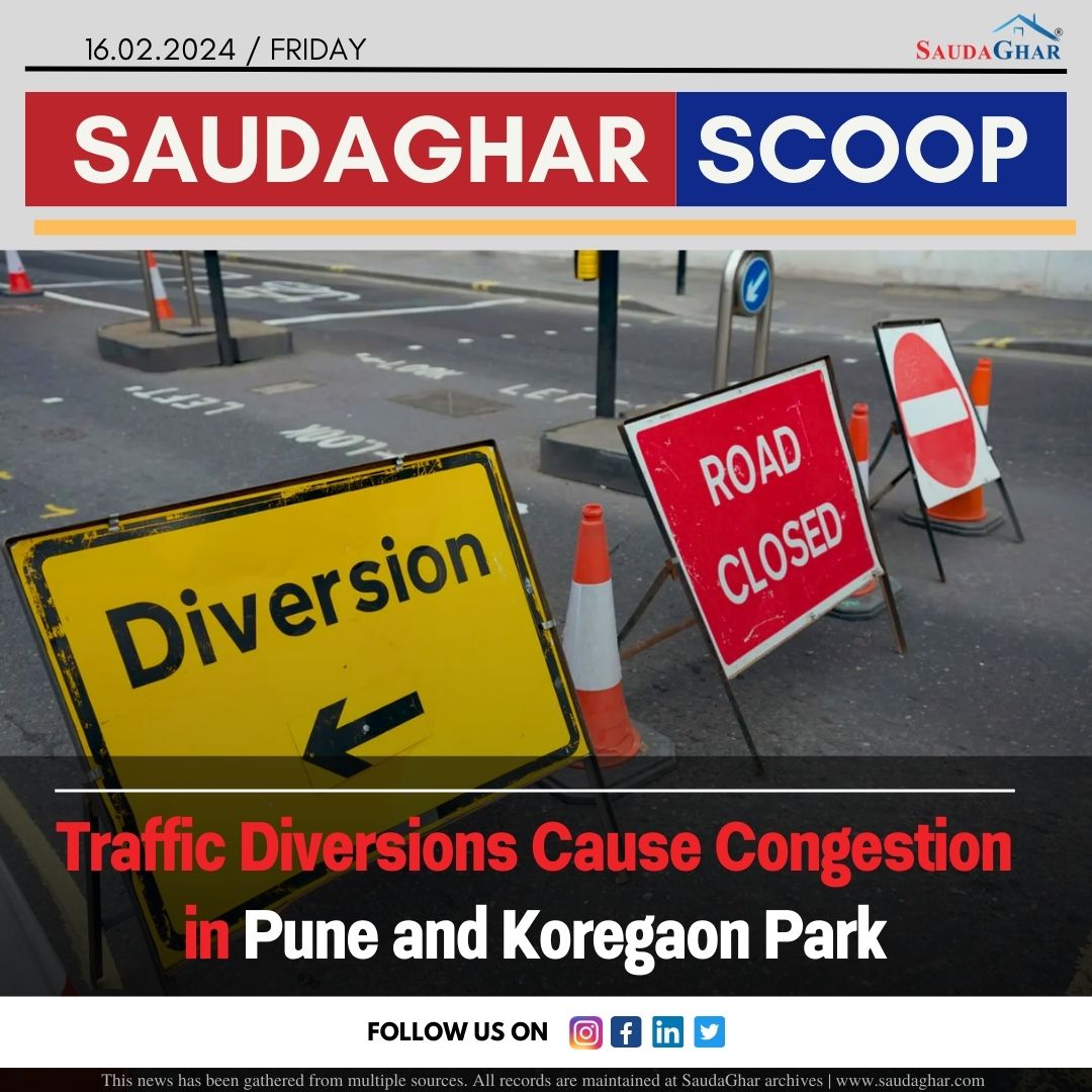
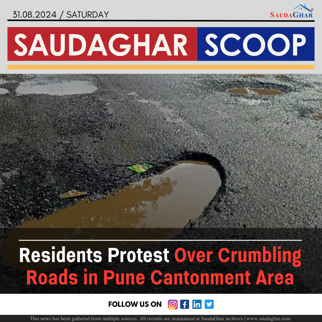
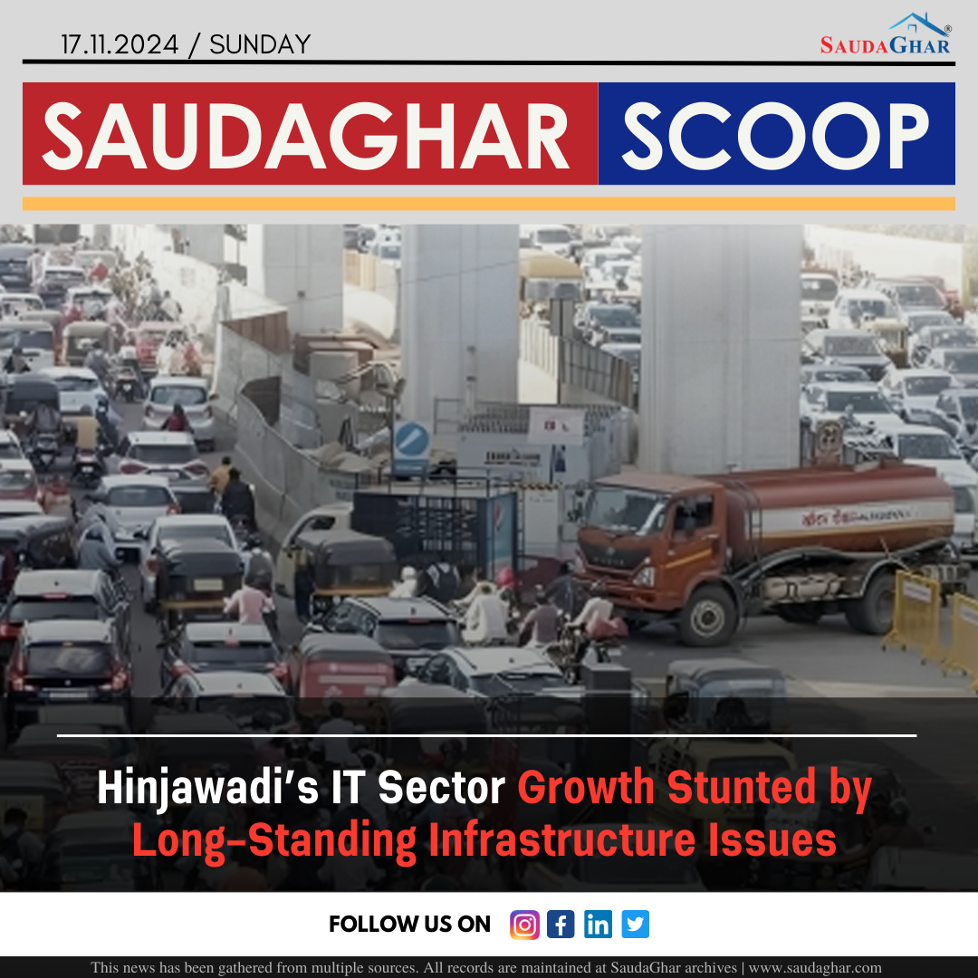
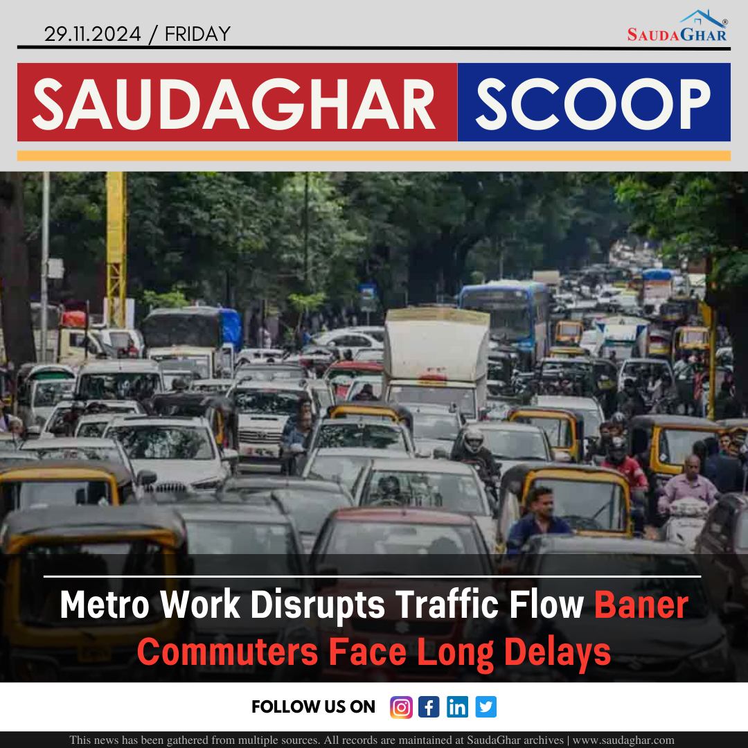
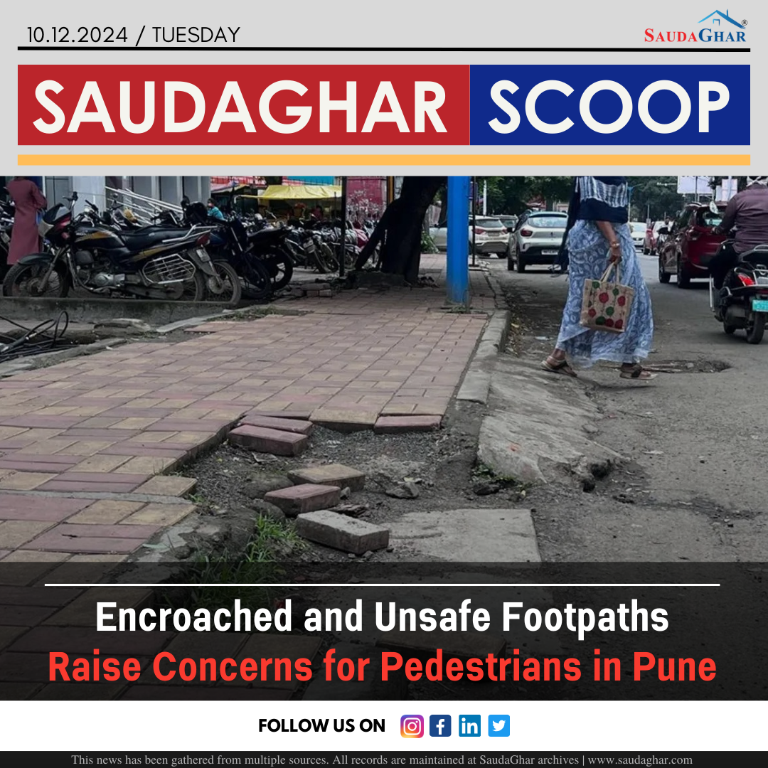
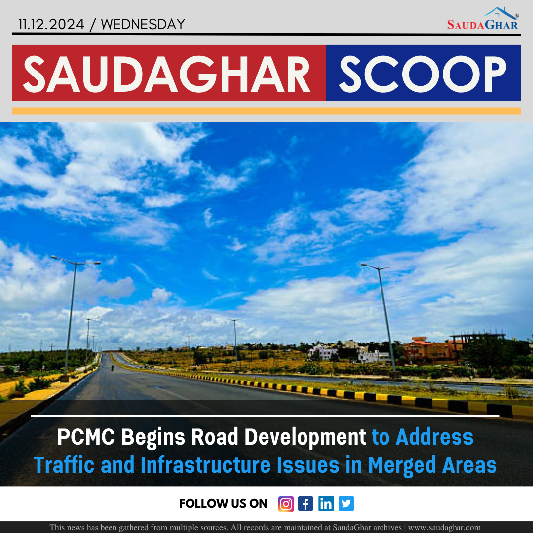
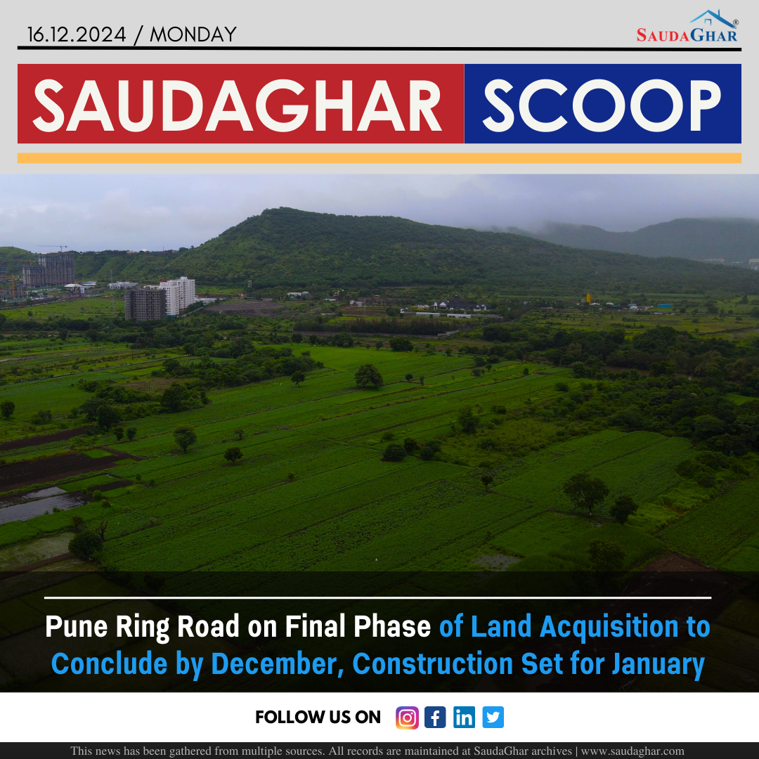
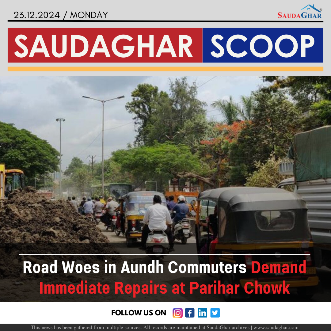
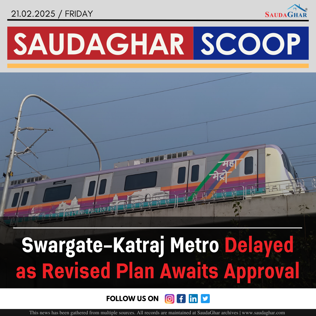
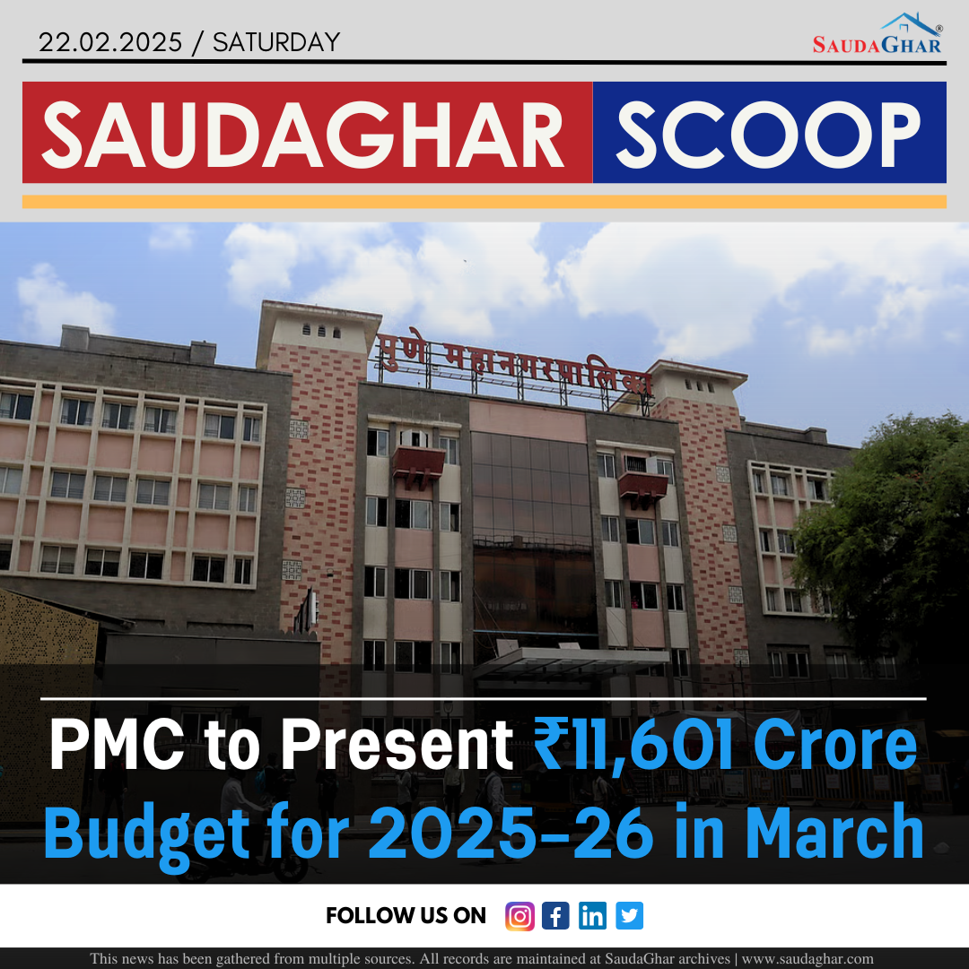
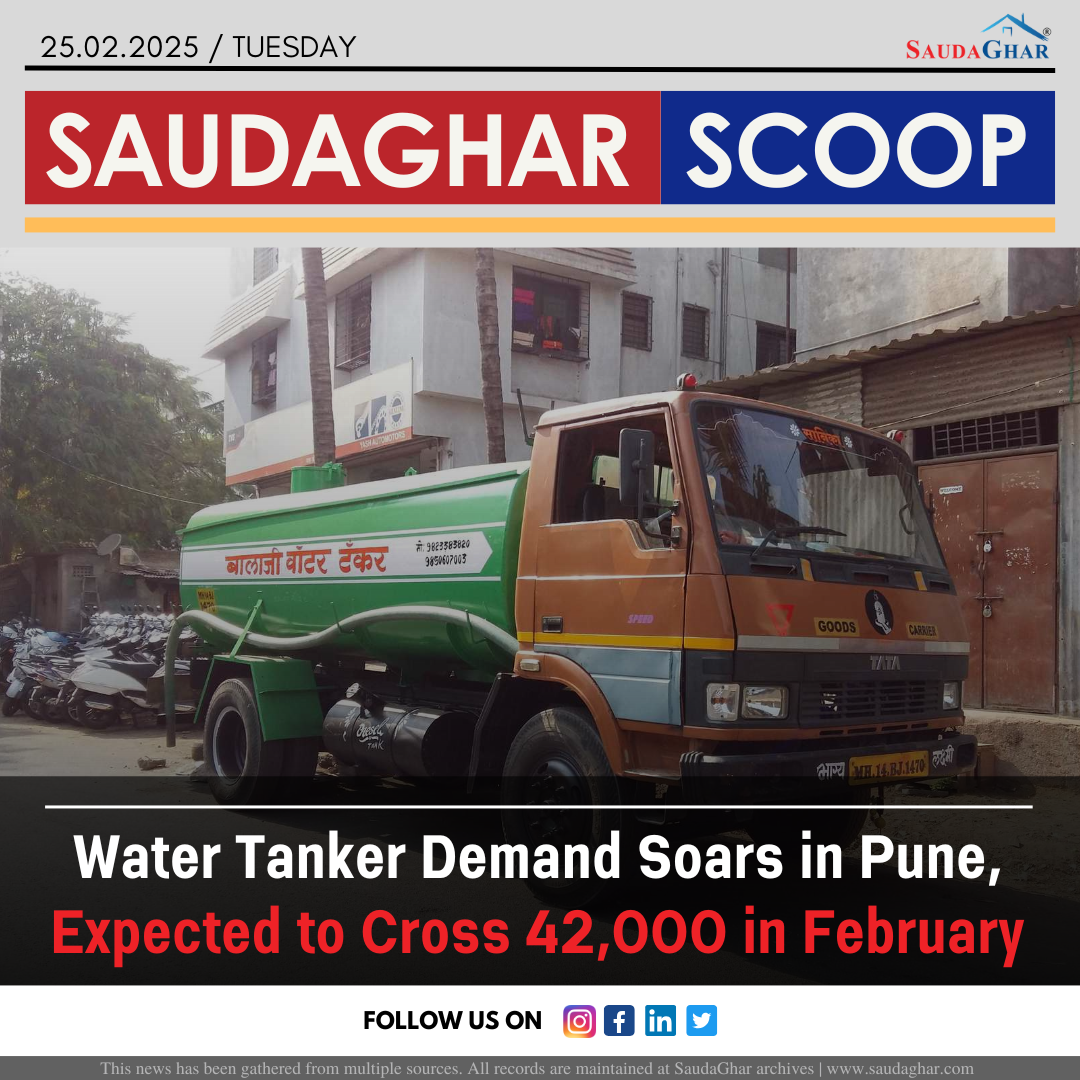
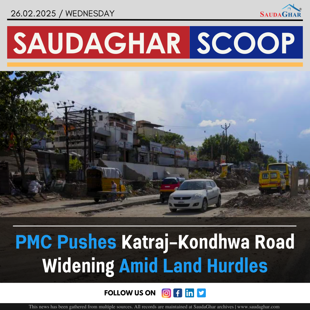
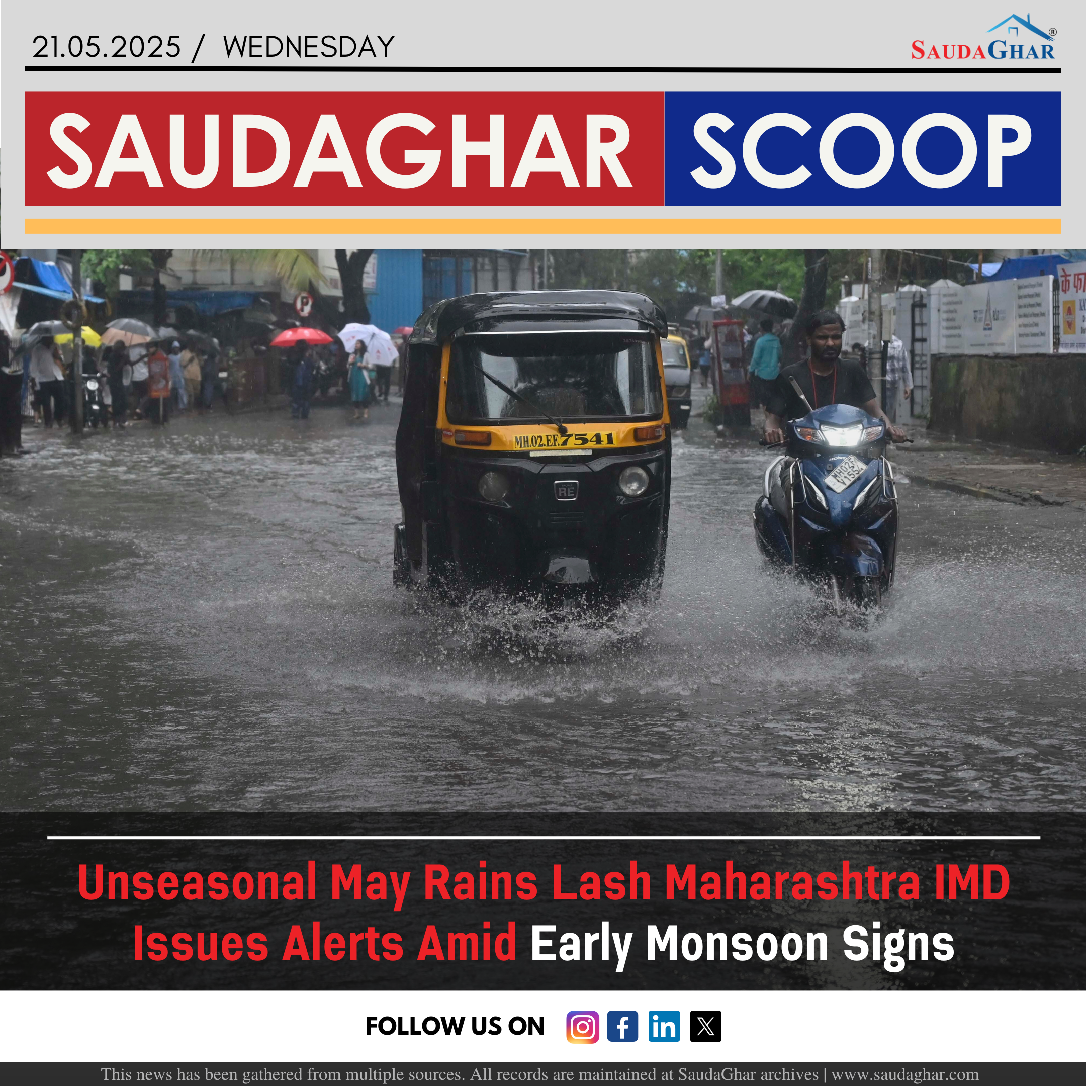
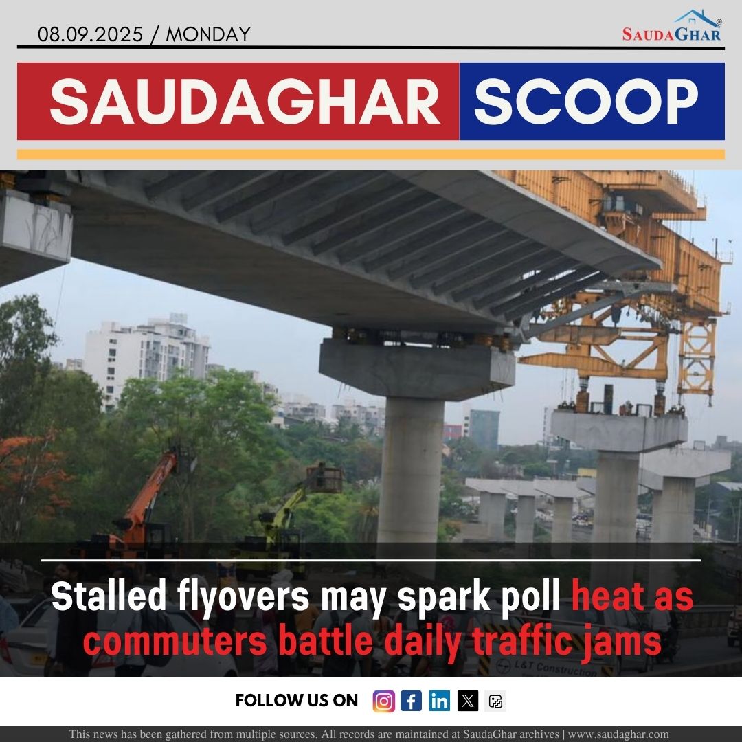
Unseasonal May Rains Lash Maharashtra IMD Issues Alerts Amid Early Monsoon Signs
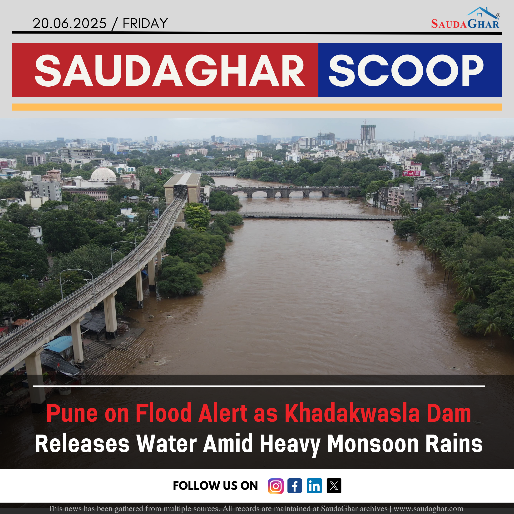
May has brought unusually intense pre-monsoon rainfall across parts of Maharashtra, creating monsoon-like conditions much earlier than expected. On Tuesday alone, Chinchwad recorded the highest rainfall at 80mm, followed by Lavale (34.2mm), Lohegaon (33.8mm), Shivajinagar (23.6mm), and Koregaon Park (5.5mm). The downpour, accompanied by thunder and lightning, led to severe waterlogging in several areas, disrupting daily life and traffic. The India Meteorological Department (IMD) attributed this unusual weather to the early setting of westerly winds and favorable global climate indicators such as the El Niño Southern Oscillation and Indian Ocean Dipole, which could result in an above-normal monsoon this year.
Independent weather forecaster highlighted that a strong Western Disturbance had extended unusually far south into the Arabian Sea, disrupting the typical high-pressure system and enabling significant moisture incursion. This, combined with a wind discontinuity and the early onset of the southwest monsoon over the Andaman and Nicobar Islands, has intensified pre-monsoon activity. The IMD has issued an orange alert for the ghats of Pune, Kolhapur, and Satara, and yellow alerts for Marathwada and Vidarbha, warning of heavy to very heavy rainfall, lightning, gusty winds, and the possible collapse of weak trees or structures in the coming days.
Similar News


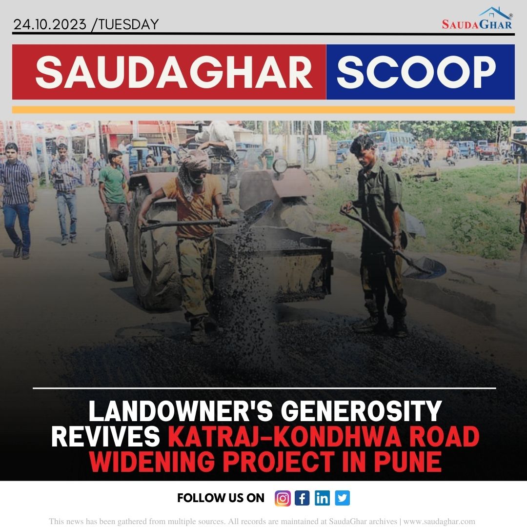
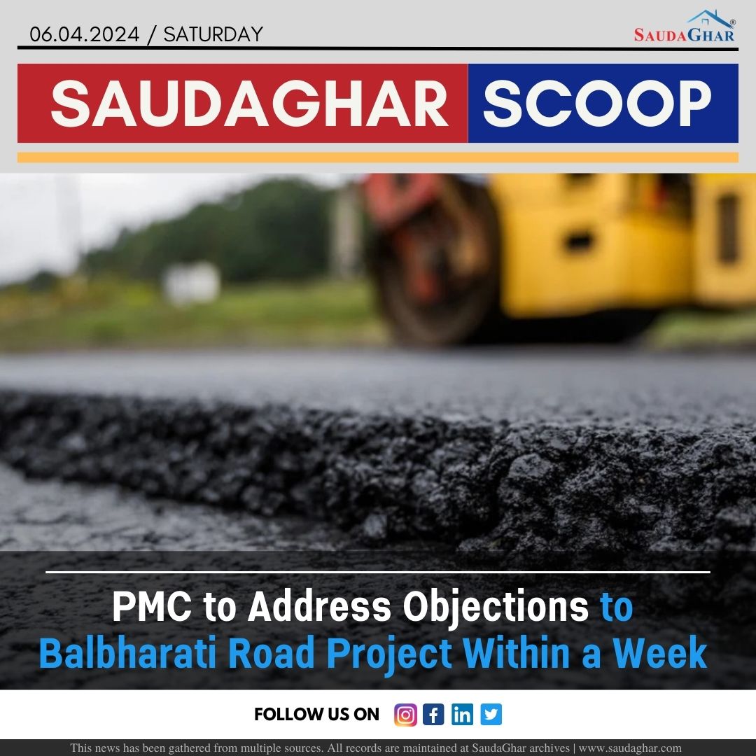
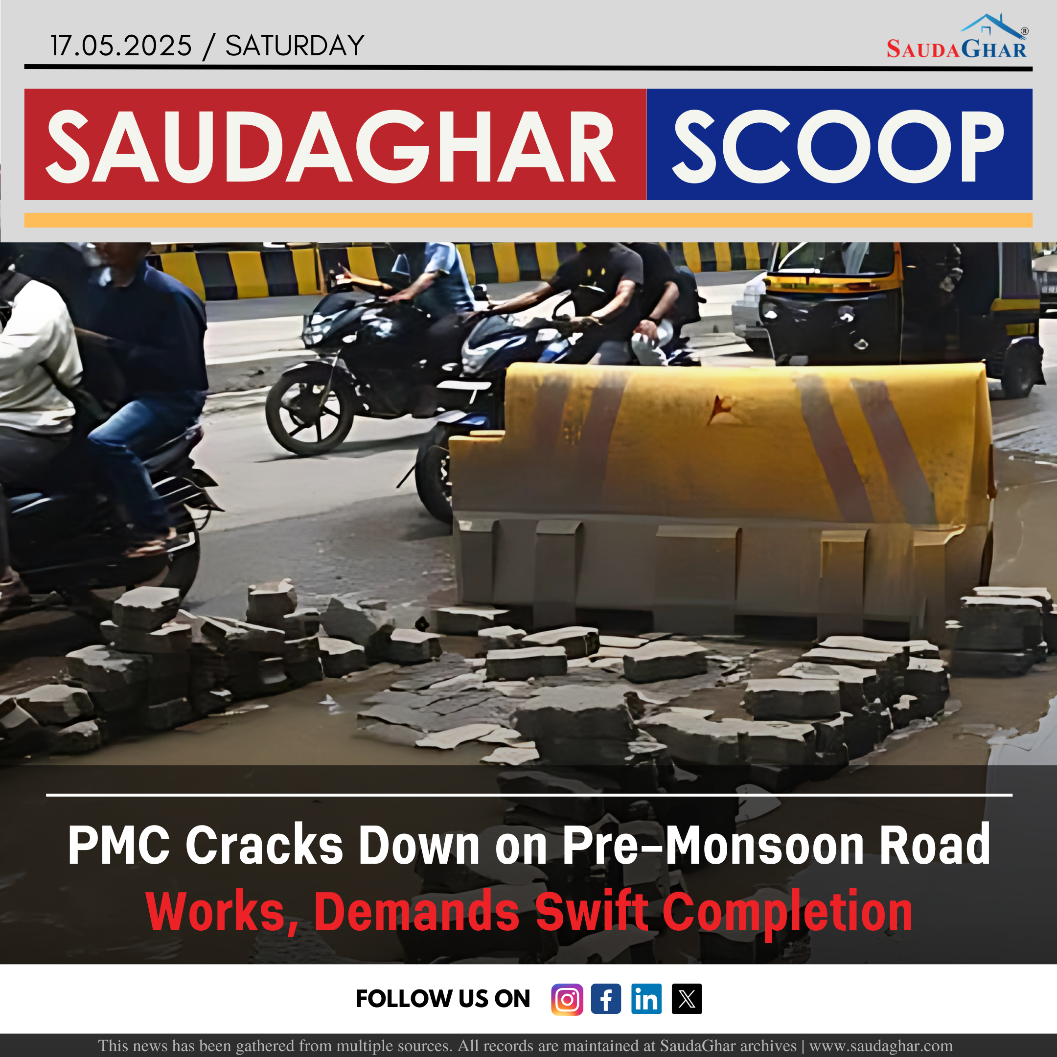
Monsoon Deluge Exposes PMC Road Repair Failures
28 Sep 2023


Amnesty Scheme to Reduce Stamp Duty Deficit
02 Dec 2023


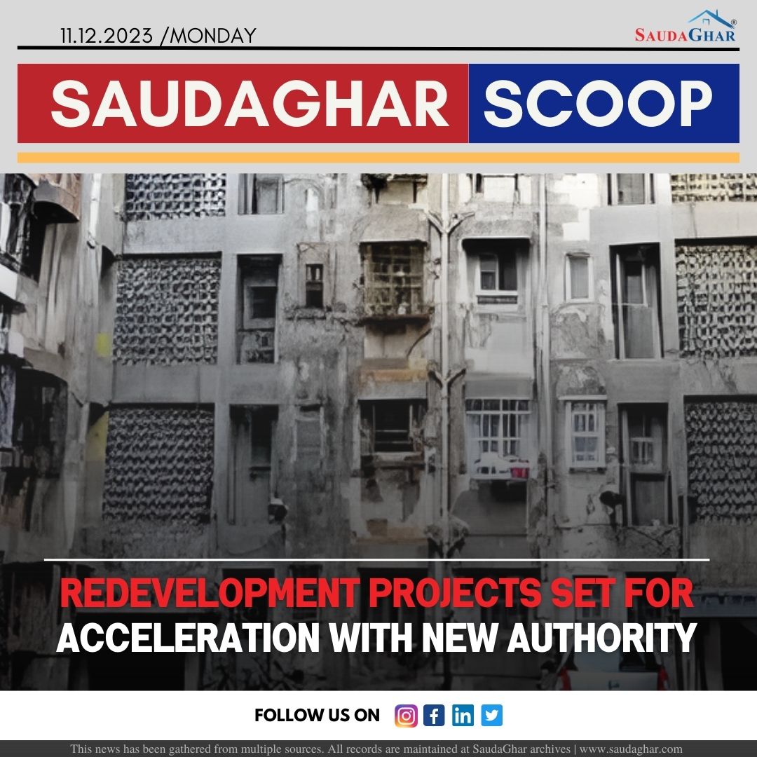
Historic Bhide Wada Set for Redevelopment by PMC
06 Dec 2023


PMC Approved Bus Bay on Nagar Road
12 Dec 2023


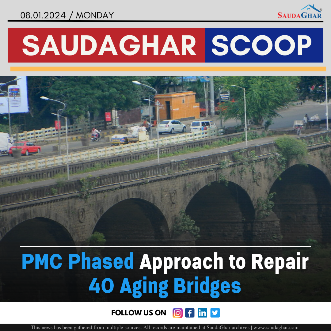
PMC Phased Approach to Repair 40 Aging Bridges
08 Jan 2024


Long Weekend से Pune-Satara Highway पर लगा लंबा!
27 Jan 2024


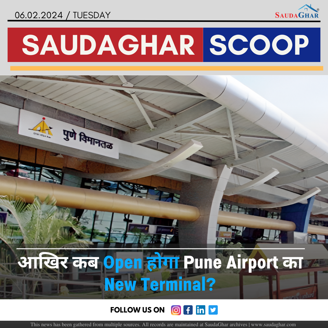
आखिर कब Open होगा Pune Airport का New Terminal?
06 Feb 2024

Pune Areas to Experience Water Shortage Tomorrow
07 Feb 2024


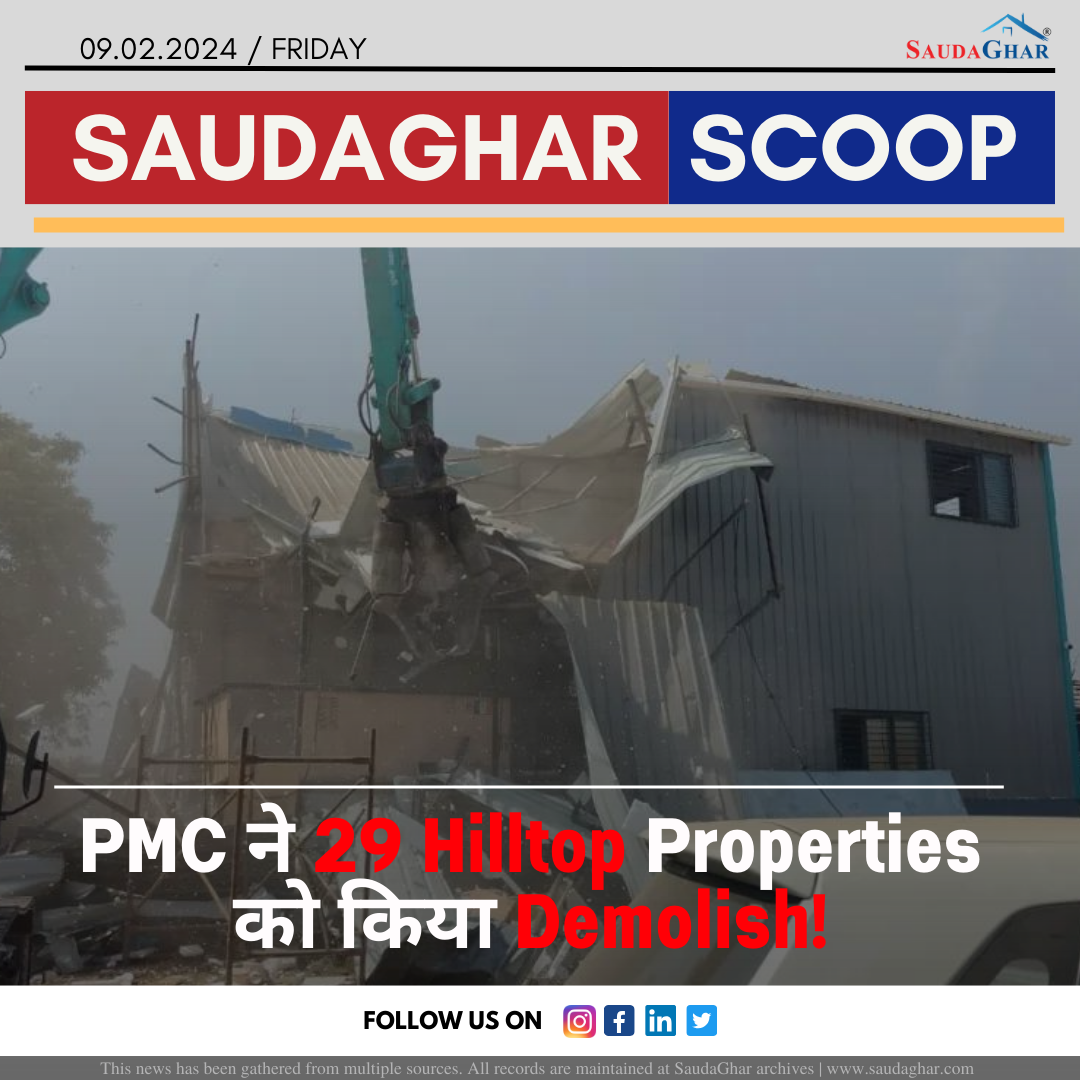
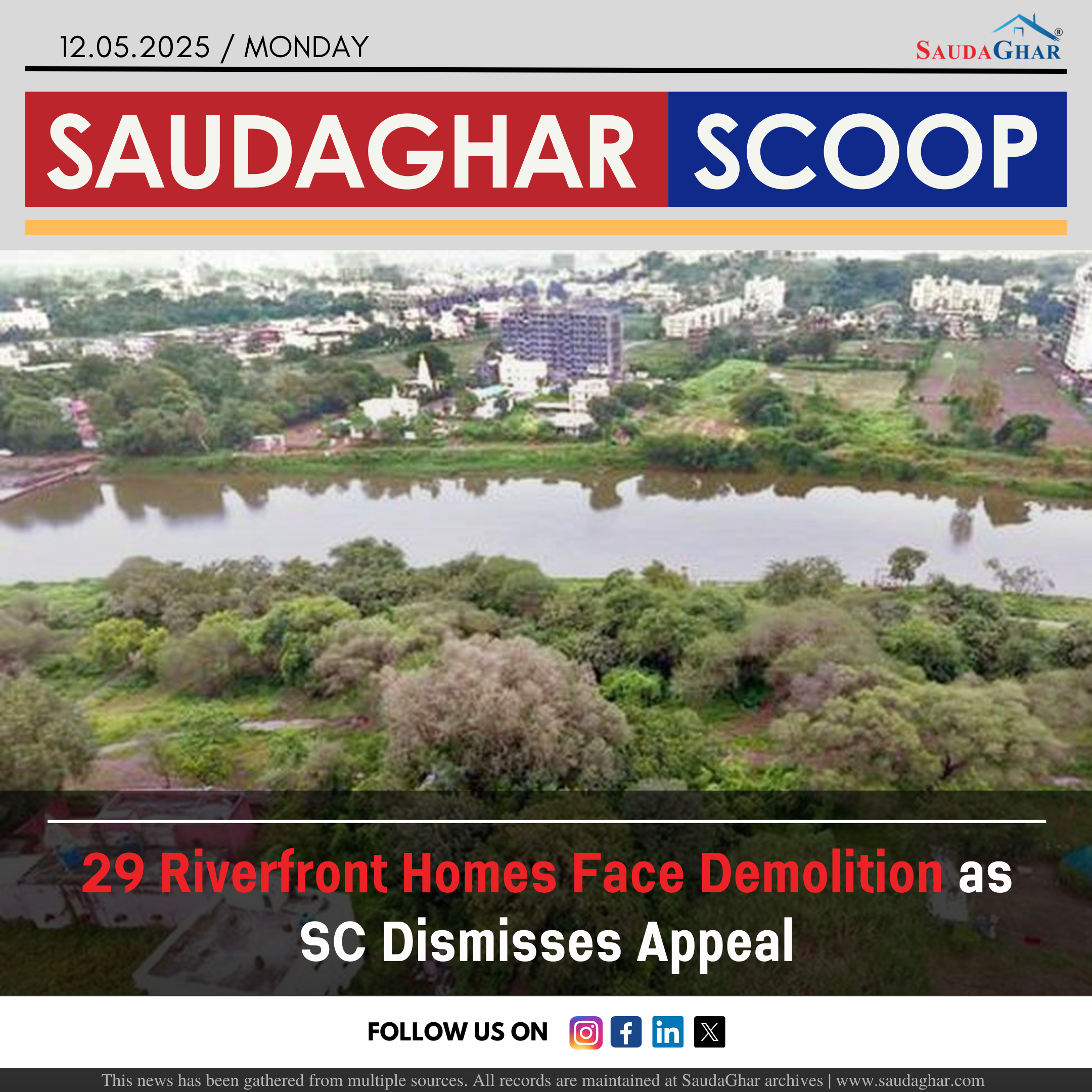
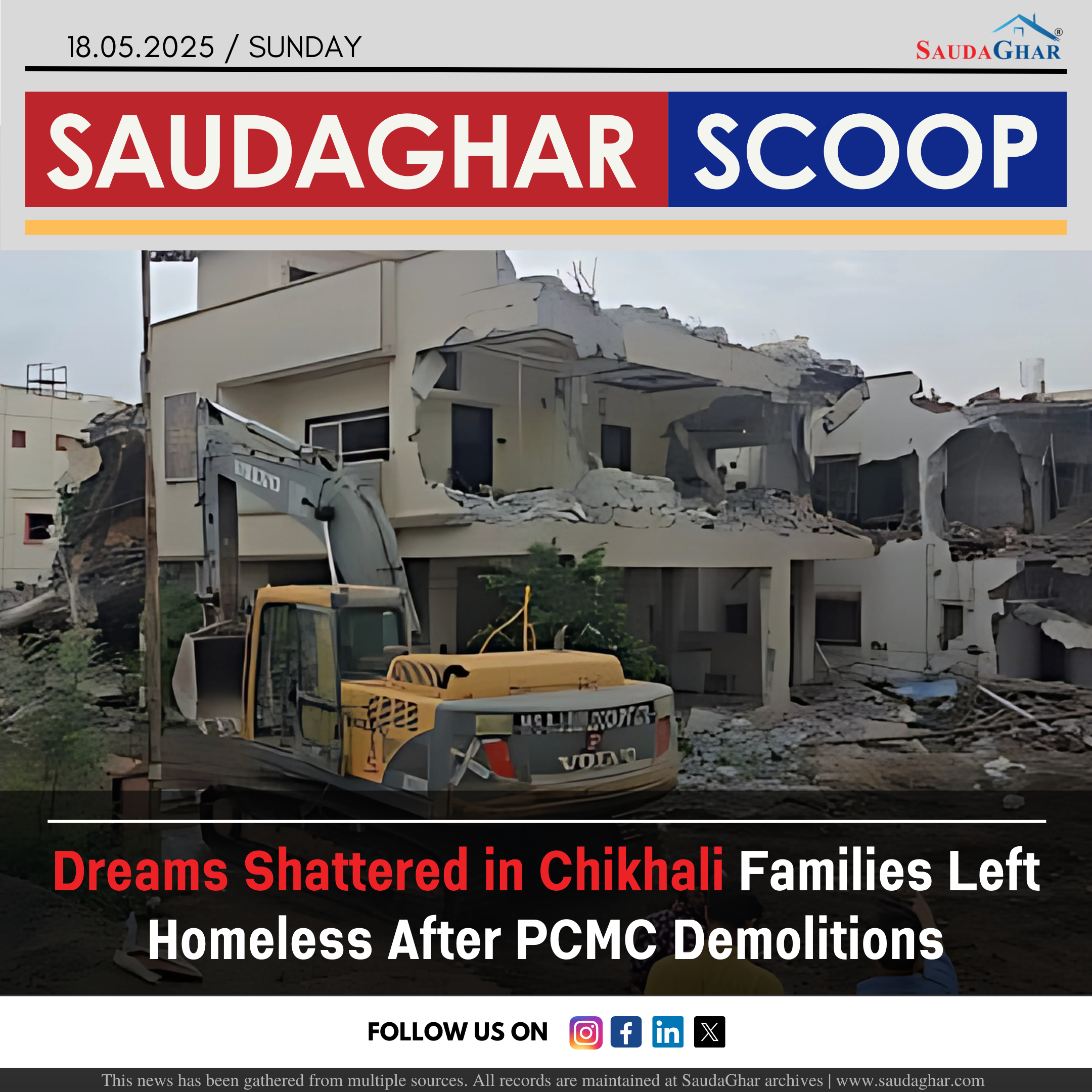
PMC demolishes 29 Hilltop Properties
09 Feb 2024


PMC under scrutiny for repeated budget inflation
03 Apr 2024


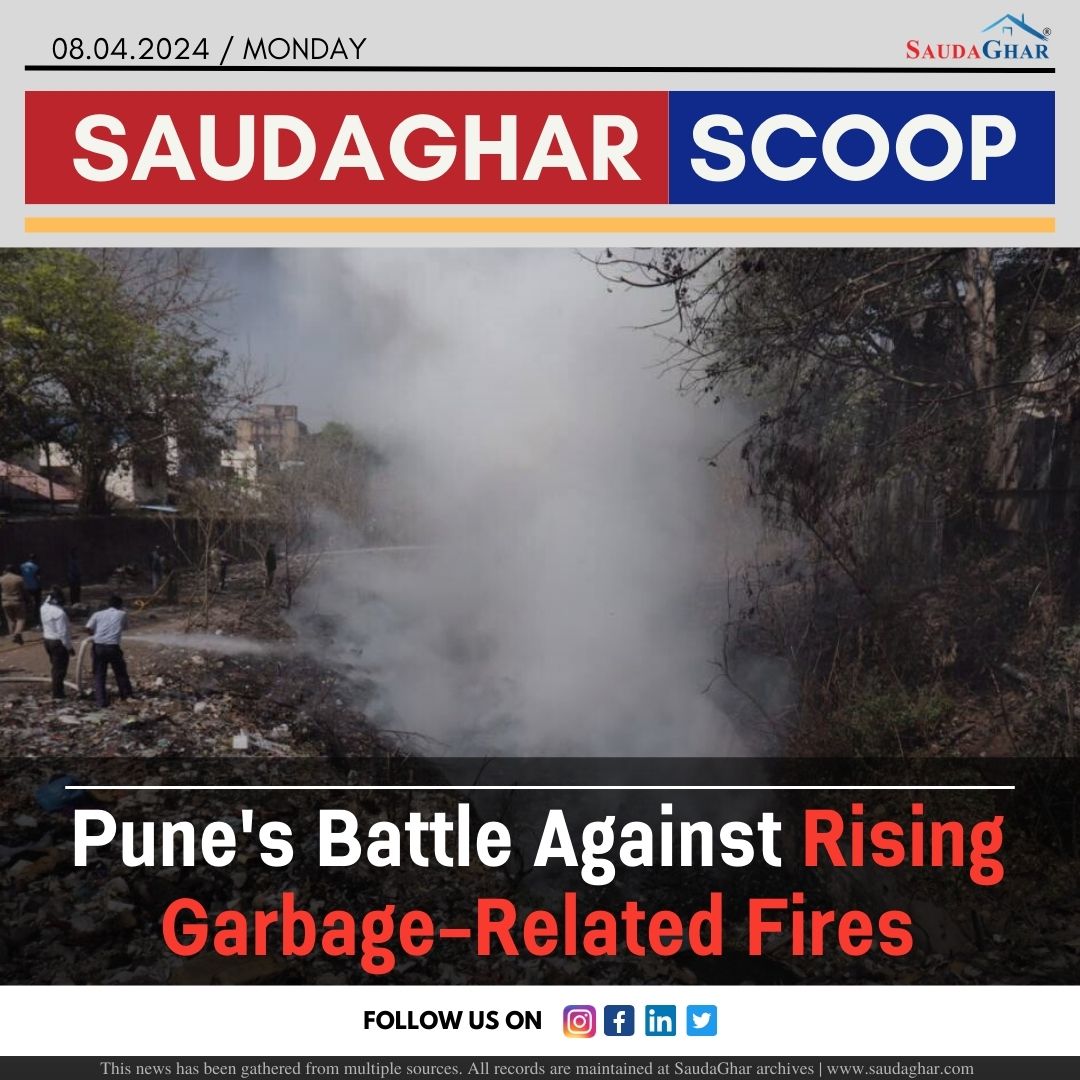
Pune Battle Against Rising Garbage-Related Fires
08 Apr 2024


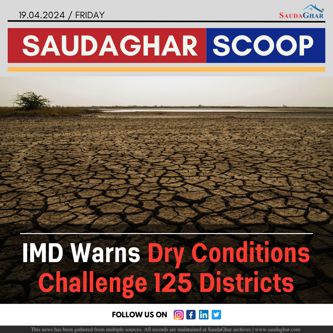
IMD Warns Dry Conditions Challenge 125 Districts
19 Apr 2024


Residents Sweat Through Frequent Power Outages
28 Apr 2024


BSI to Open New Botanical Garden in Mundhwa
27 Aug 2024


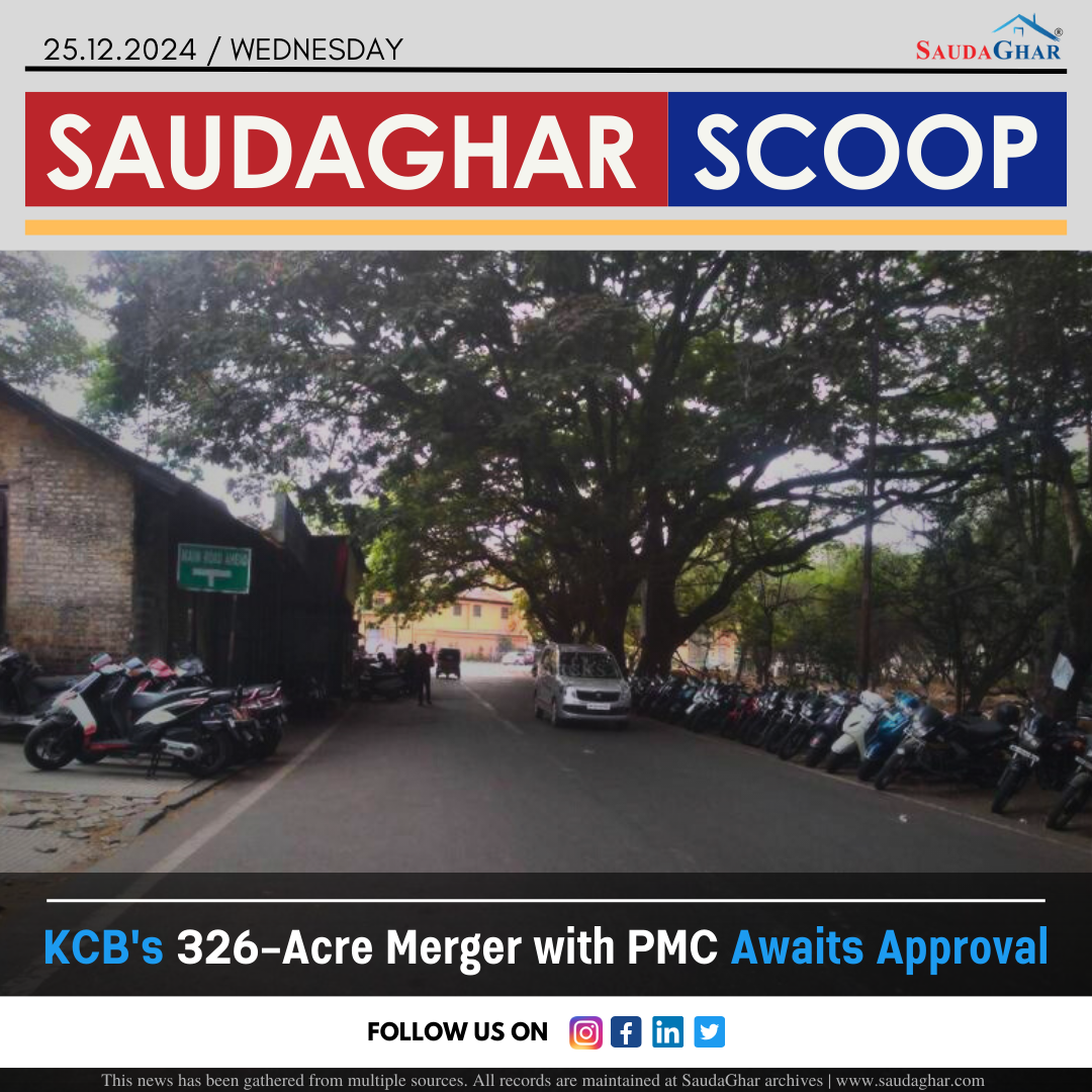
KCB 326-Acre Merger with PMC Awaits Approval
25 Dec 2024


PMRDA Unveils ₹67 Crore Plan to Boost Tourism
15 Feb 2025


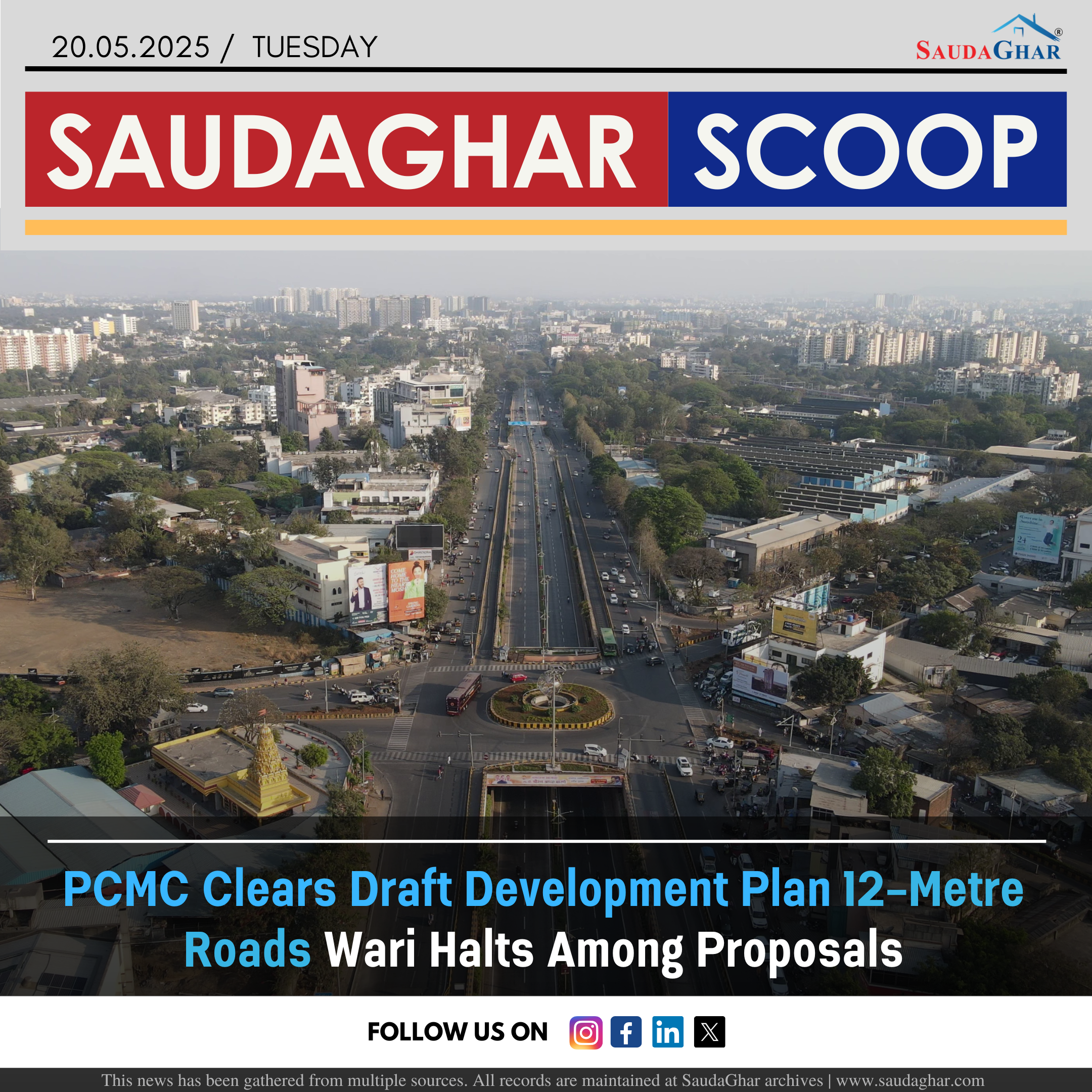


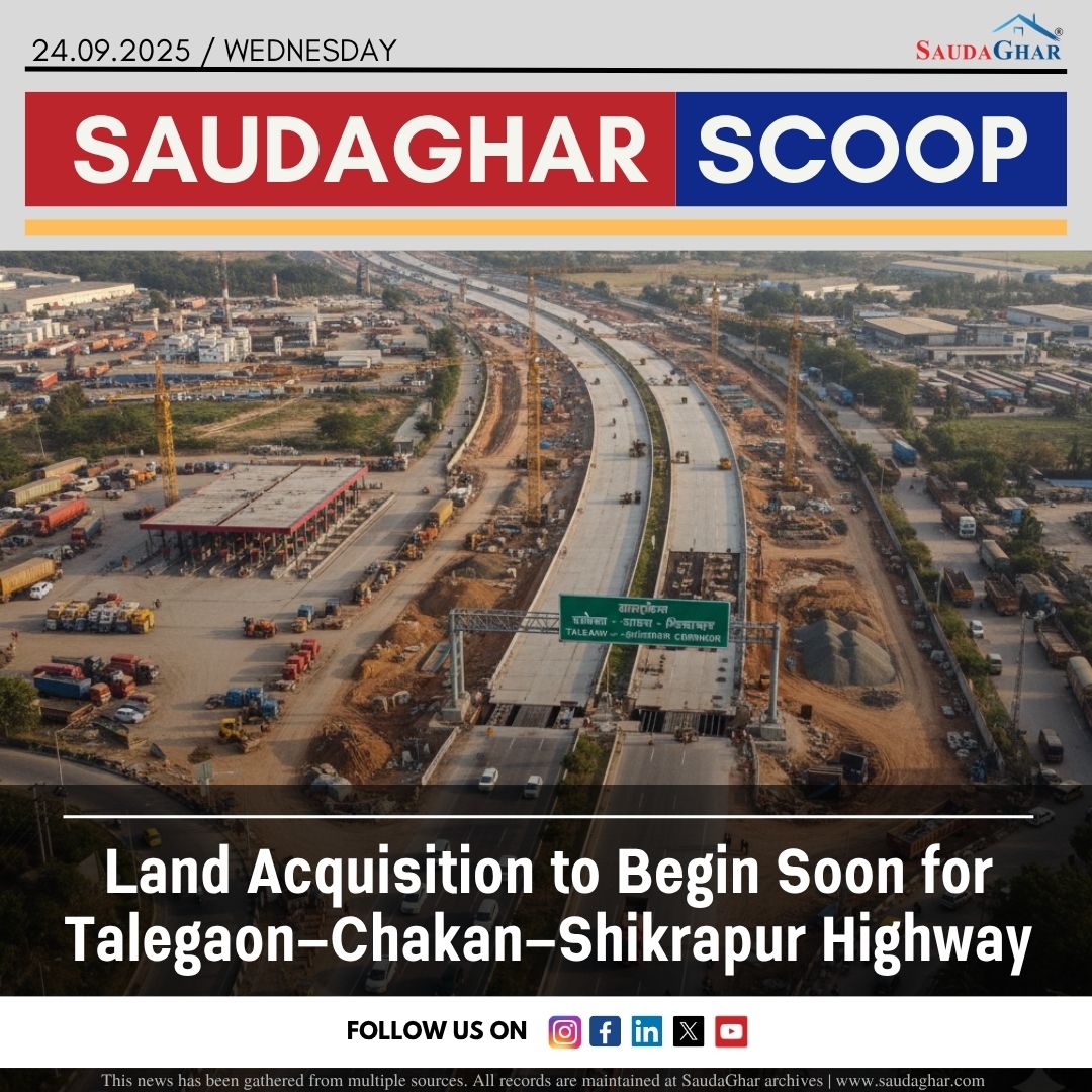
Land Acquisition for PMRDA Ring Road Speeds Up
20 Jul 2025


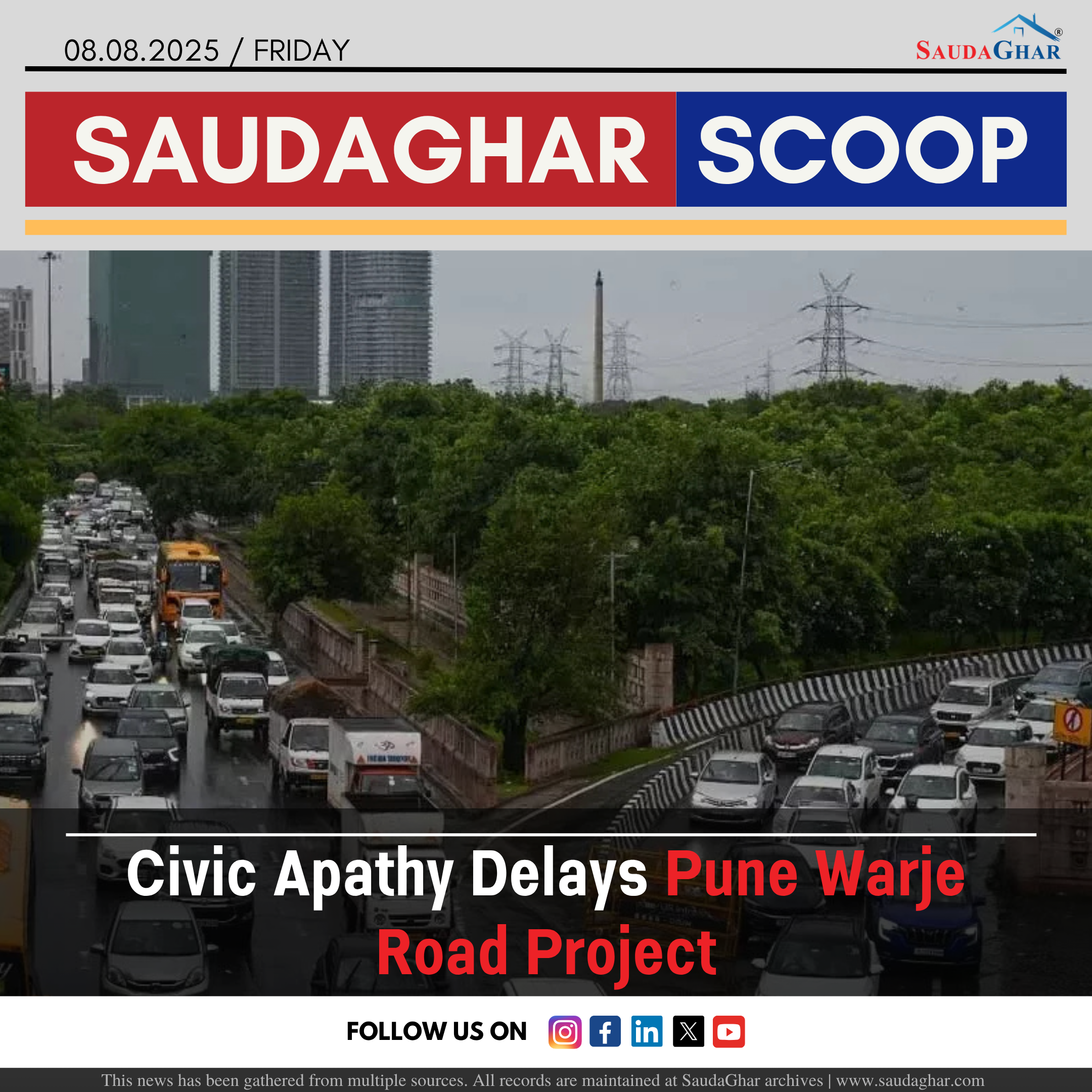
Civic Apathy Delays Pune Warje Road Project
08 Aug 2025


Why PCMC Shut Down Multiple RMC Plants.
17 Nov 2025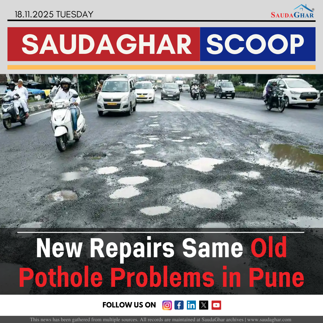
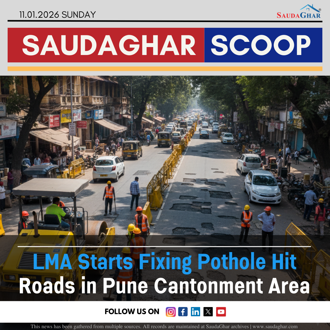
New Repairs Same Old Pothole Problems in Pune.
18 Nov 2025


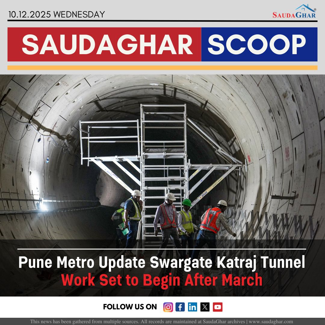


Yerawada Katraj Tunnel A New Way to Cross Pune
07 Jan 2026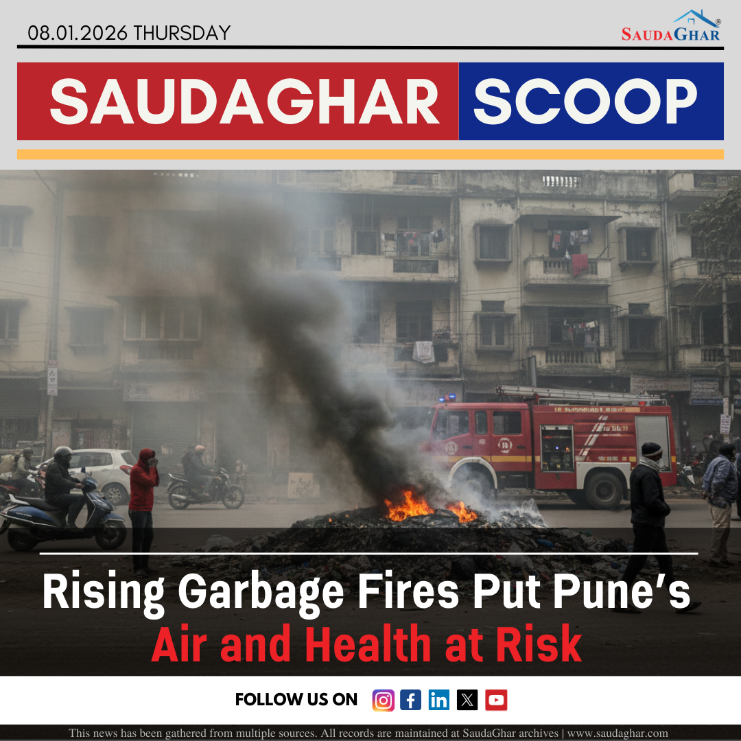

What 2025 Tells Us About Pune Real Estate Demand
09 Jan 2026